
By Ambassador Seb De Meris
Every year I go say hello to my colleagues who spend their summers on and around the Glacier of Otemma, a glacier that the university has been studying for years. Nothing better than visiting them in this remote valley to test the Process 134 and the new camping equipment in good conditions.
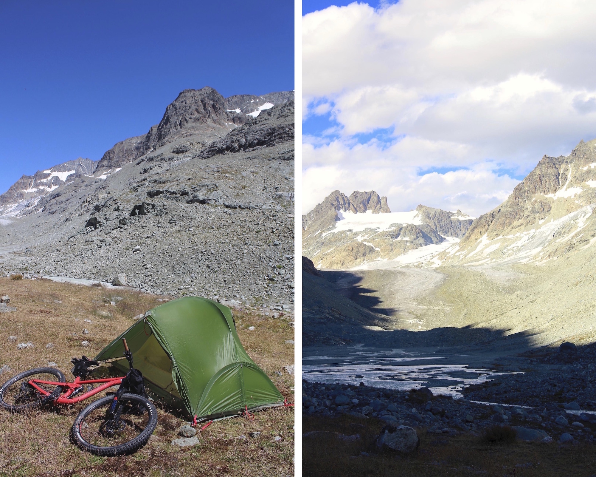
In terms of equipment I was able to put the tent and some warm clothes in the bar bag and the rest of the “sleeping system“ in the saddle bag. The backpack was filled with food, tools and crampons and photo gear.

Thanks to the public transport which passes twice a day, I can reduce the climb from 50km to only 15km, which are the most beautiful to ride, along the Mauvoisin Lake and deep in the valley. The ascent starts with laces that bring us to the height of the dam, from where we discover a beautiful grey lake.

We then have to pass through several tunnels dug in the rock before it’s possible to ride along the lake. The part along the lake is relatively rolling and the passage of many small torrents makes it possible to cool off a bit.
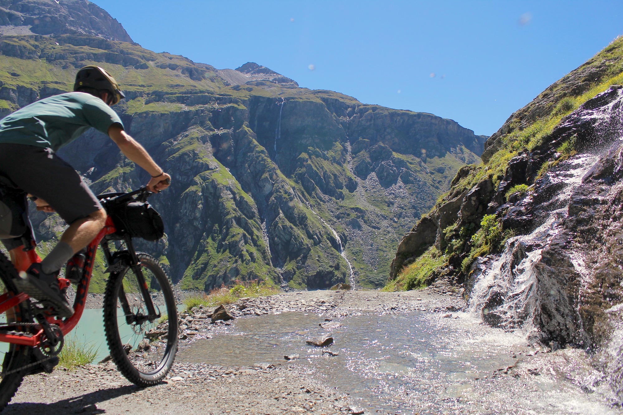
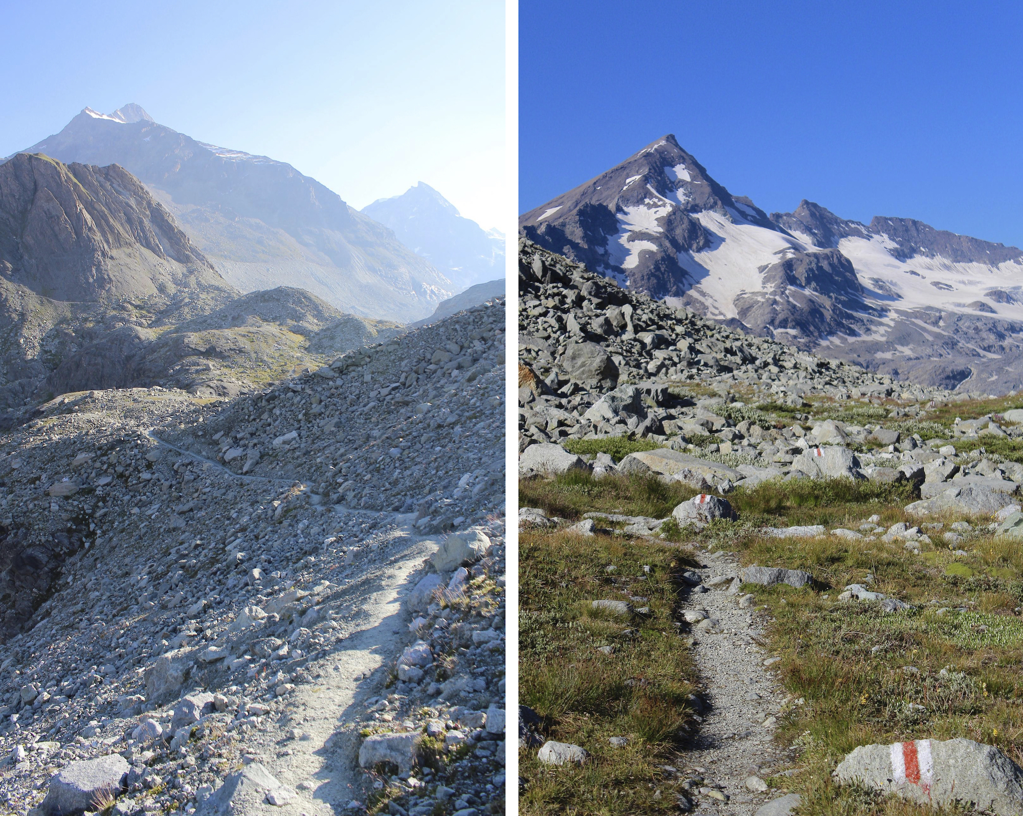
Arrived at the end of the lake, the serious things begin with a climb full of laces. As one climbs, one passes from the alpine meadows to a more mineral environment, shaped by the glaciers.
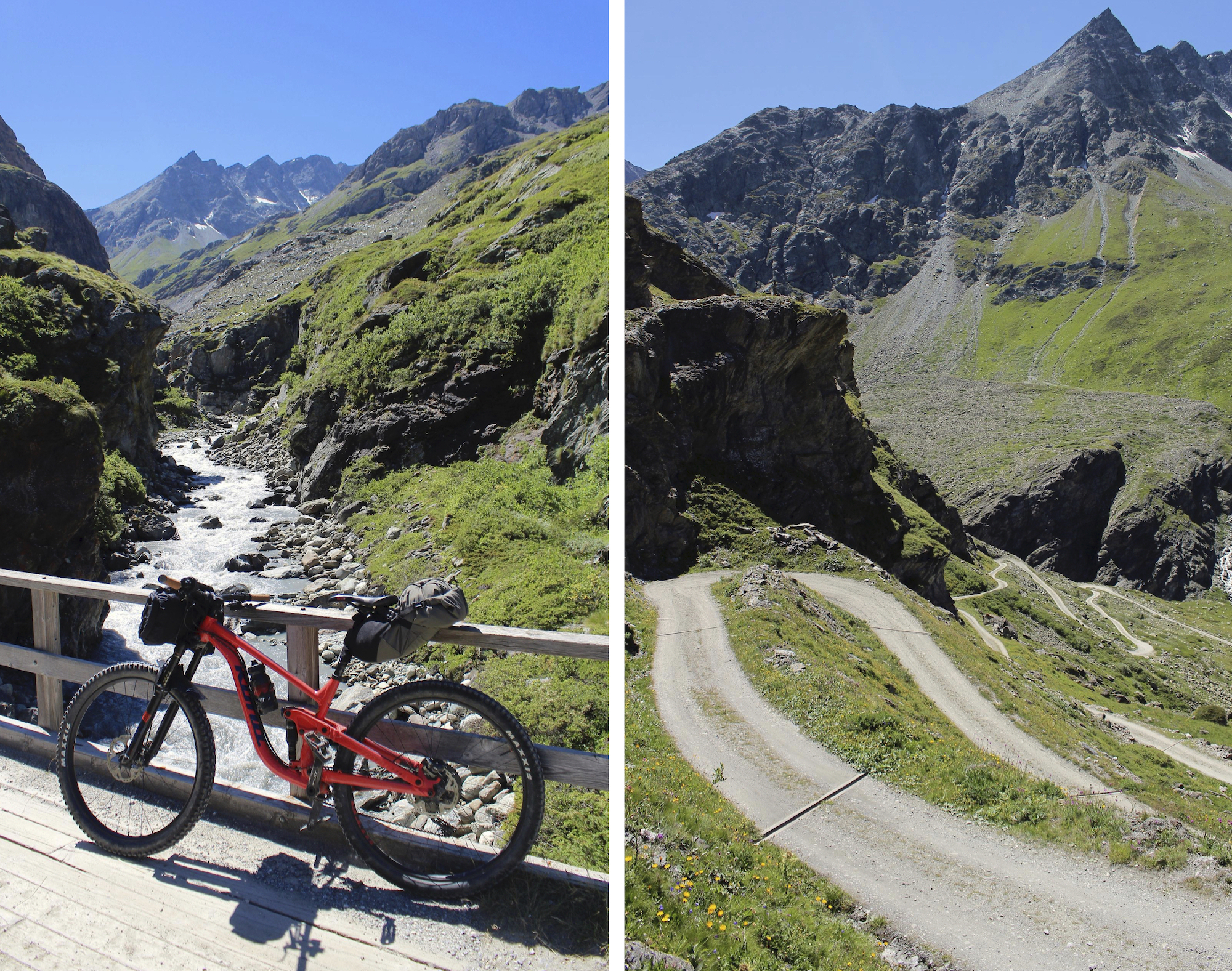
The end of the path, there is still a little over a kilometre and a half on a path that is part of the “Haute route“between Zermatt and Chamonix.
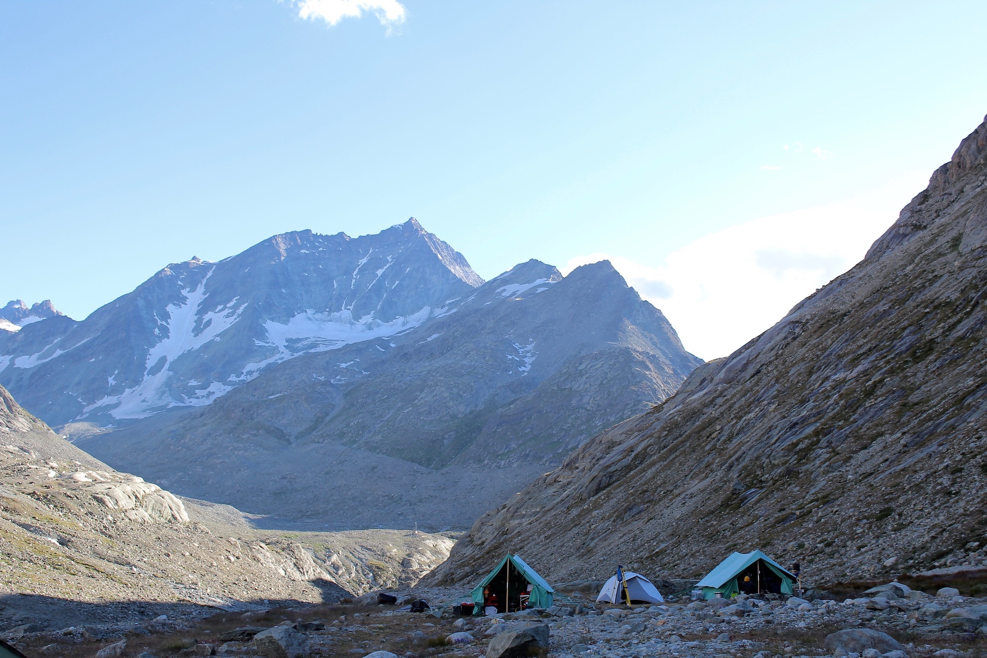
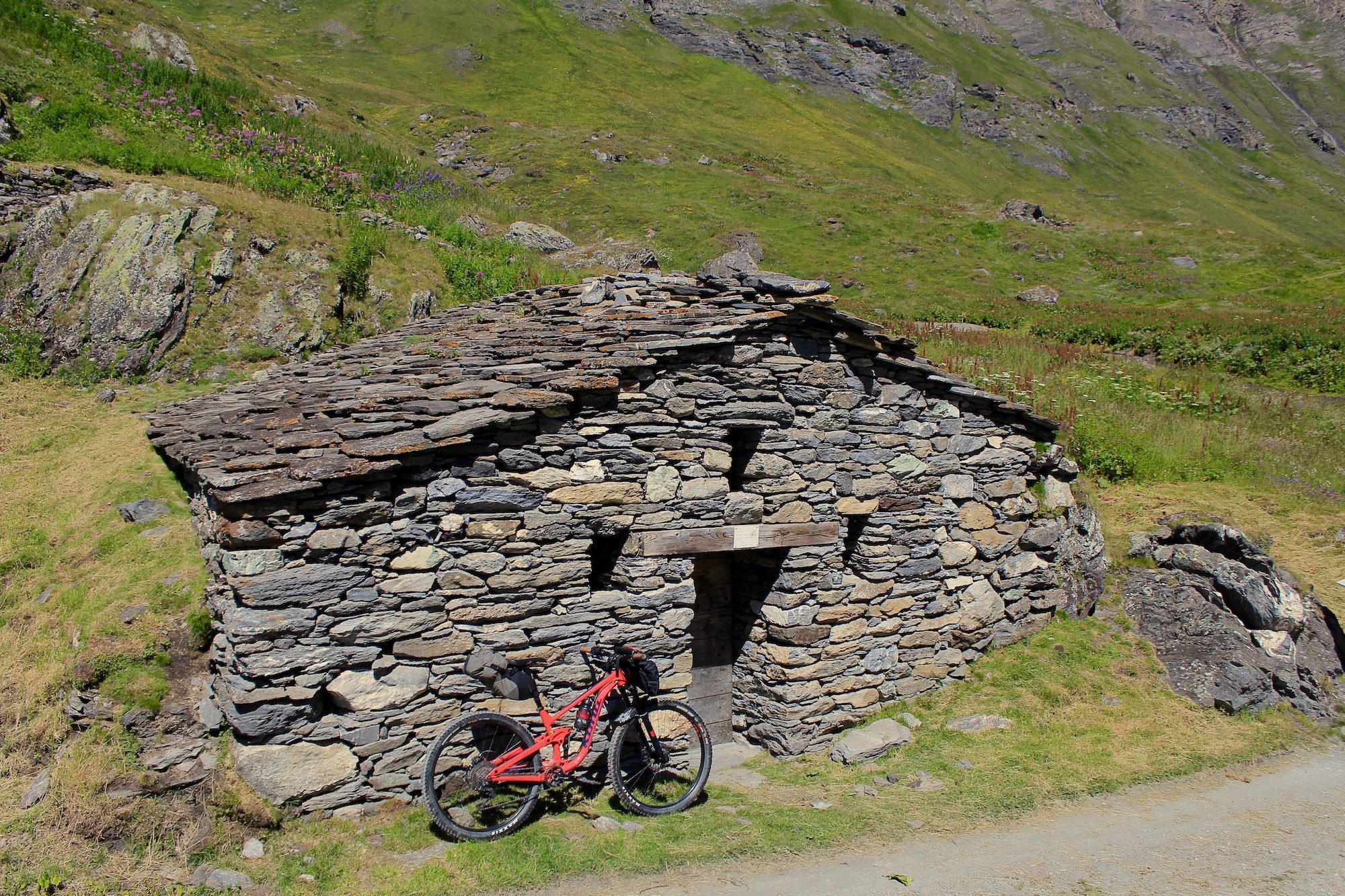
Hiking with the bike is not the most pleasant part of the trip, but the sight of small colourful tents in the distance is motivating.
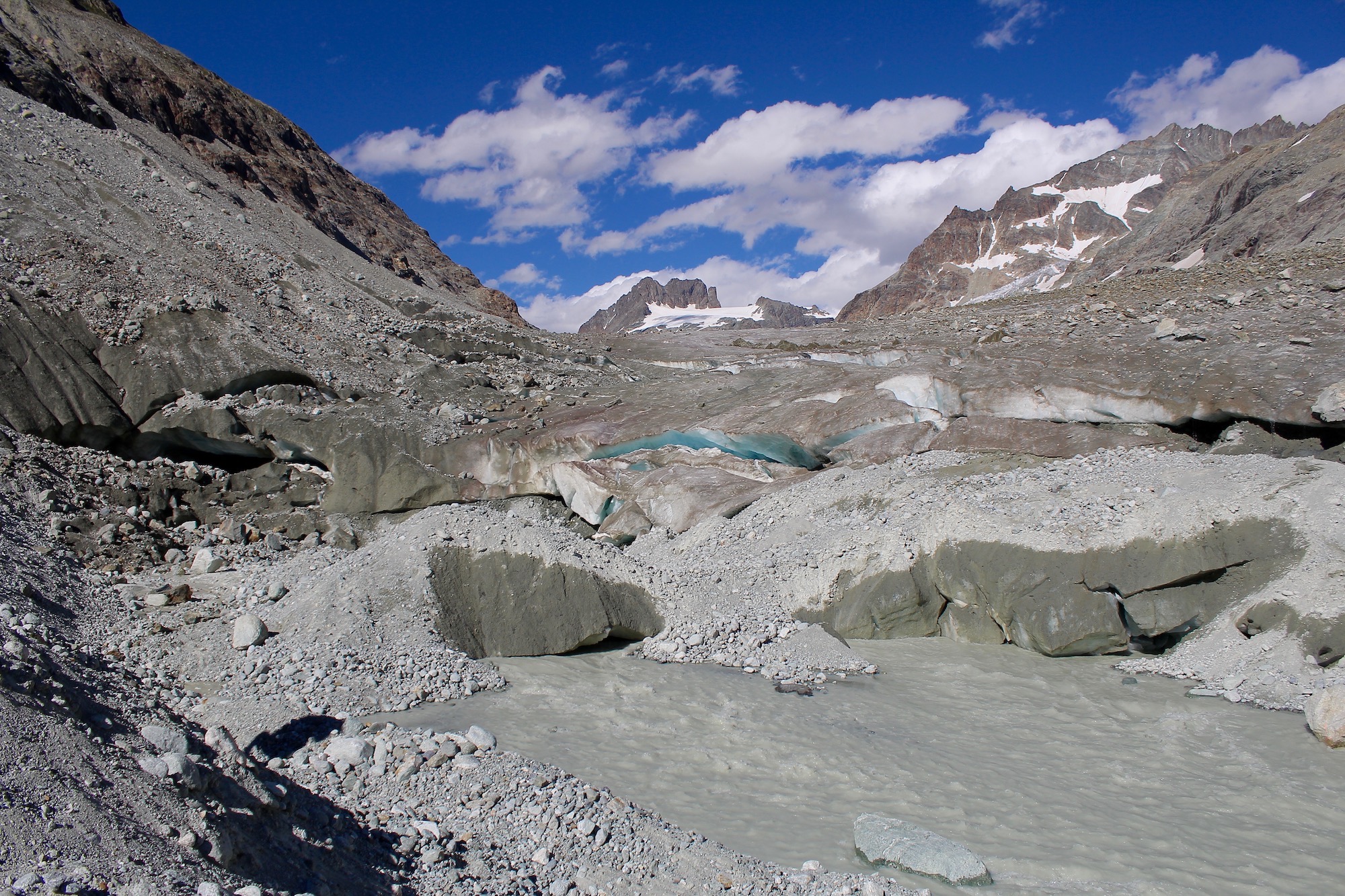
I arrive just in time for the end of lunch and I learn that the ice bridge leading to the glacier has collapsed the day before, making access complicated and measures impossible for the moment as long as access is not secured. The afternoon will be dedicated to walking to a small lake for swimming. It is so hot that the water in the lake is almost good.
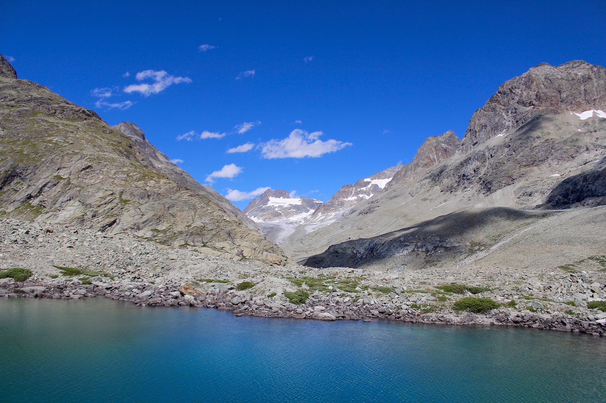
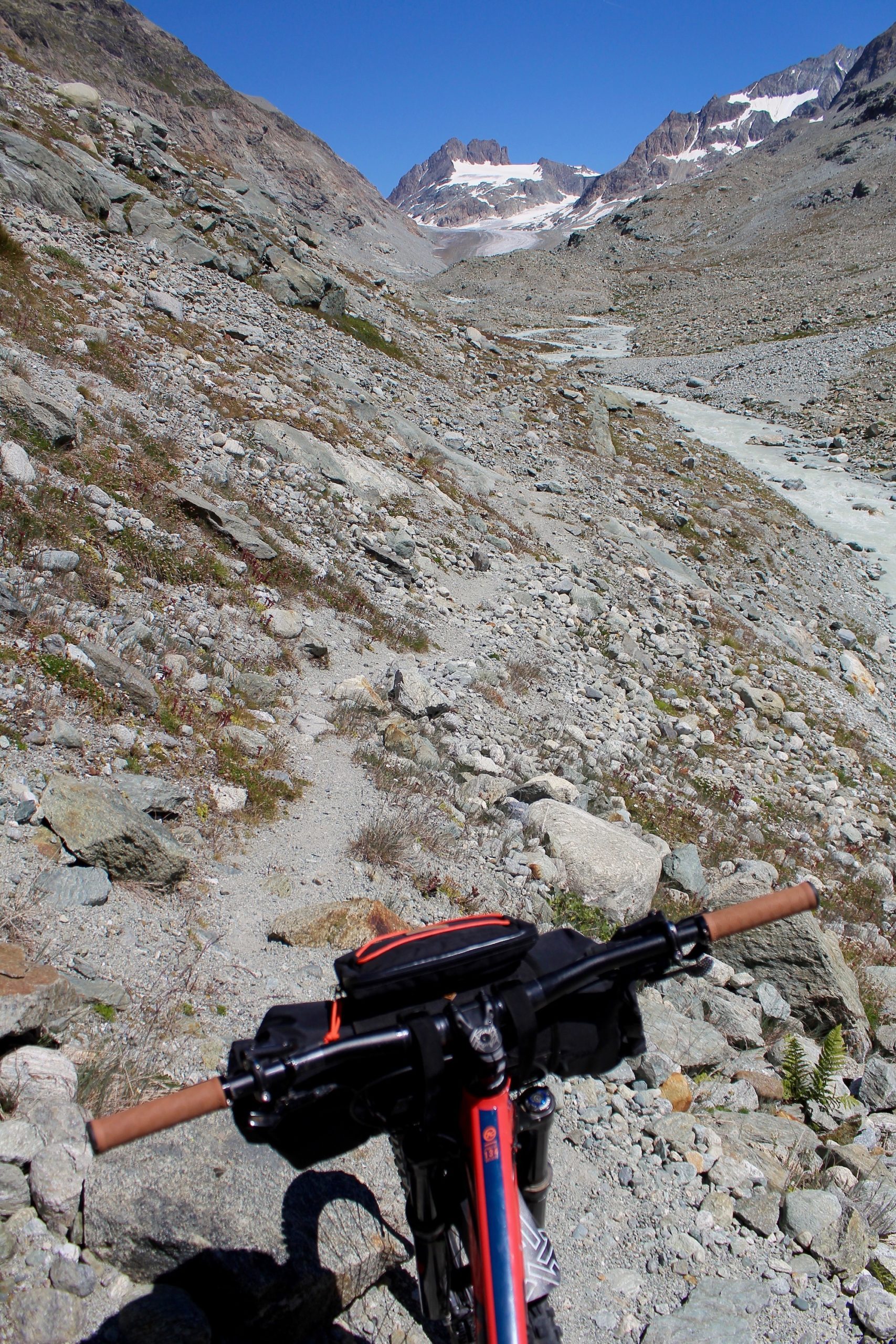
At the end of the day we decide to still go to the front of the glacier, which every year retreats a little further upstream. The contrast with last year is striking. In summer the ice surface melts between 8 and 10cm per day which represents a significant thickness at the end of the summer.
We take advantage of the return to camp to take samples from the different tributaries of the alluvial plain. The sun is hiding behind the mountains and the air starts to get colder, how nice it is to put on a jacket and pants for the evening when there is an heatwave in plain.
We are enjoying the evening but stay reasonable on the local liqueurs as the wake up will be early for everyone. That will allow me to take full advantage of the 50km of descent that await the Process and me.
I slept so well that I woke up with all of a sudden, even though the alarm clock had rung 20 minutes earlier. It’s ok, it’s not 6 o’clock yet and I’m going to make coffee while people start moving in their tents.
I check that the saddlebags are well attached and leave before the sun appears in the valley.
The beginning of the descent is relatively smooth even if some passages can’t be done on the bike.

After a few kilometers of known descent by which I had climbed the day before, it’s time to discover the trails previously spotted on different maps. I don’t know what it’s gonna look like but it should be fun !

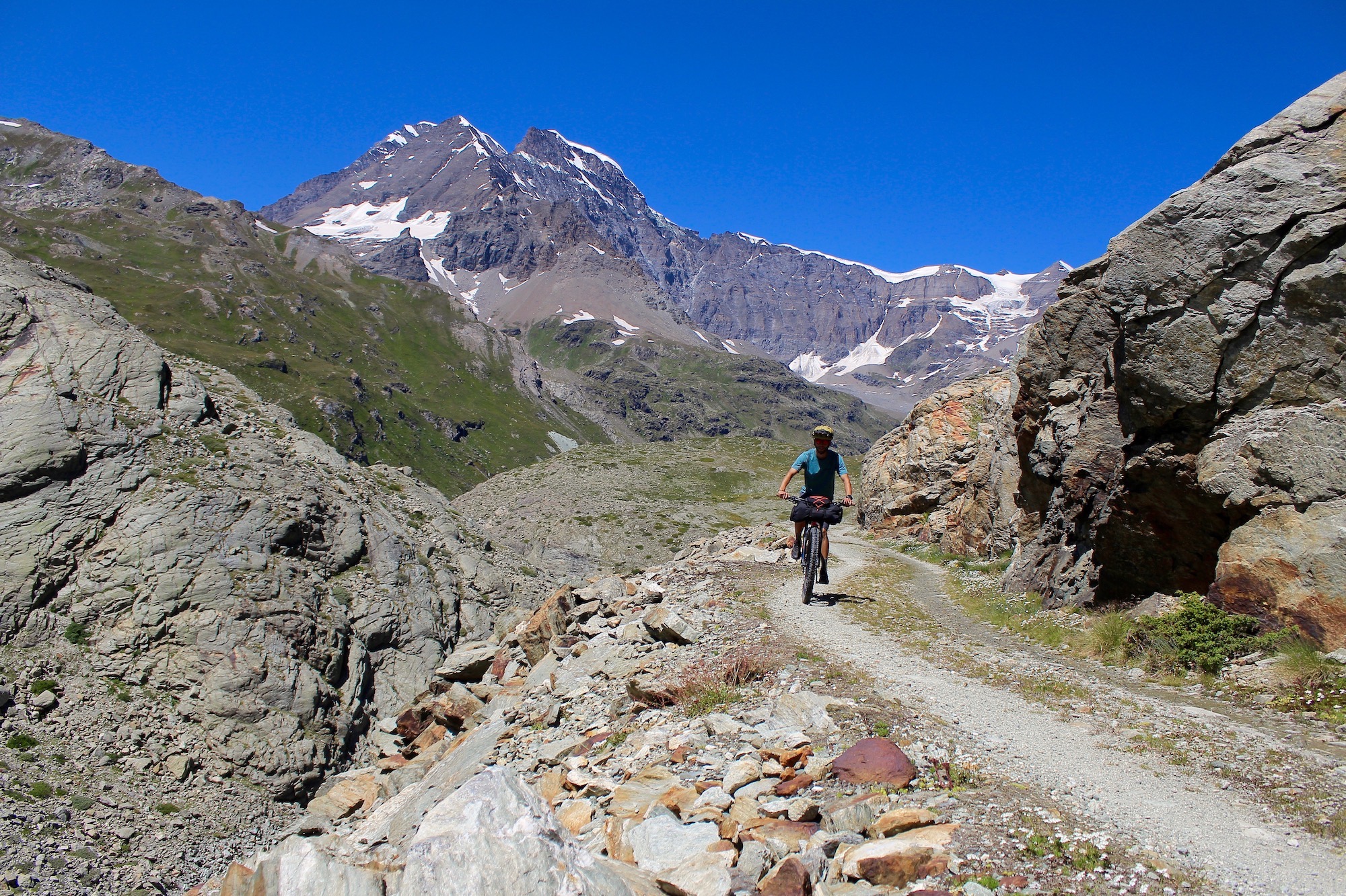
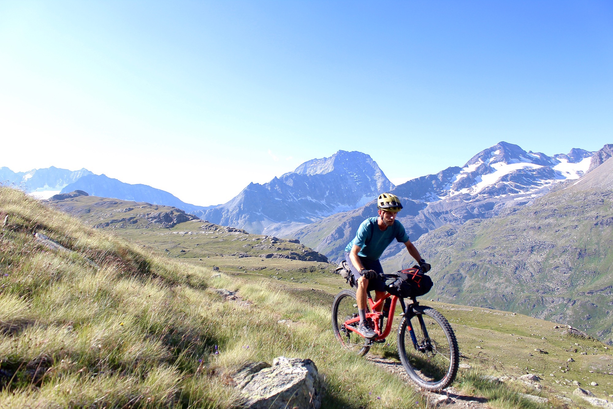
Then begins the only real ascent of the day where 300m have to be climbed. Once done, the alpine path is relatively easy to ride. The previously glaciated landscape is magnificent and the trail passes through magnificent moraines.
I also discover that I am much less agile on my process equipped with bags, especially with the telescopic saddle that I can’t descend, I’ll have to take care of it next time.
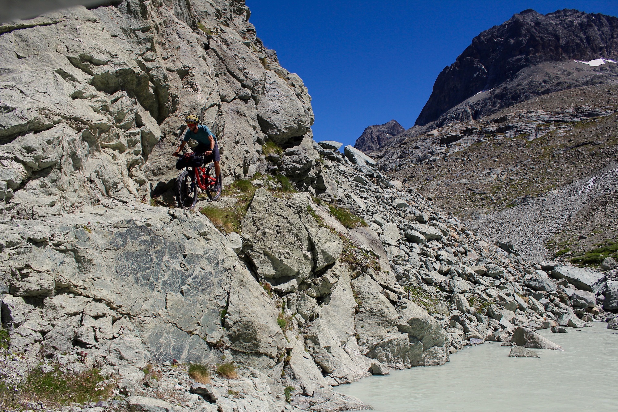
I arrive at the passage that I was afraid of from the beginning. On the maps it’s indicated as climbing in the middle of rocky bars. There are indeed chains to hold on to and after sweating for a while to get the bike through, once at the top there’s quite a change of scenery. The path now winds through grass and rocks and I progress gently on the bike.
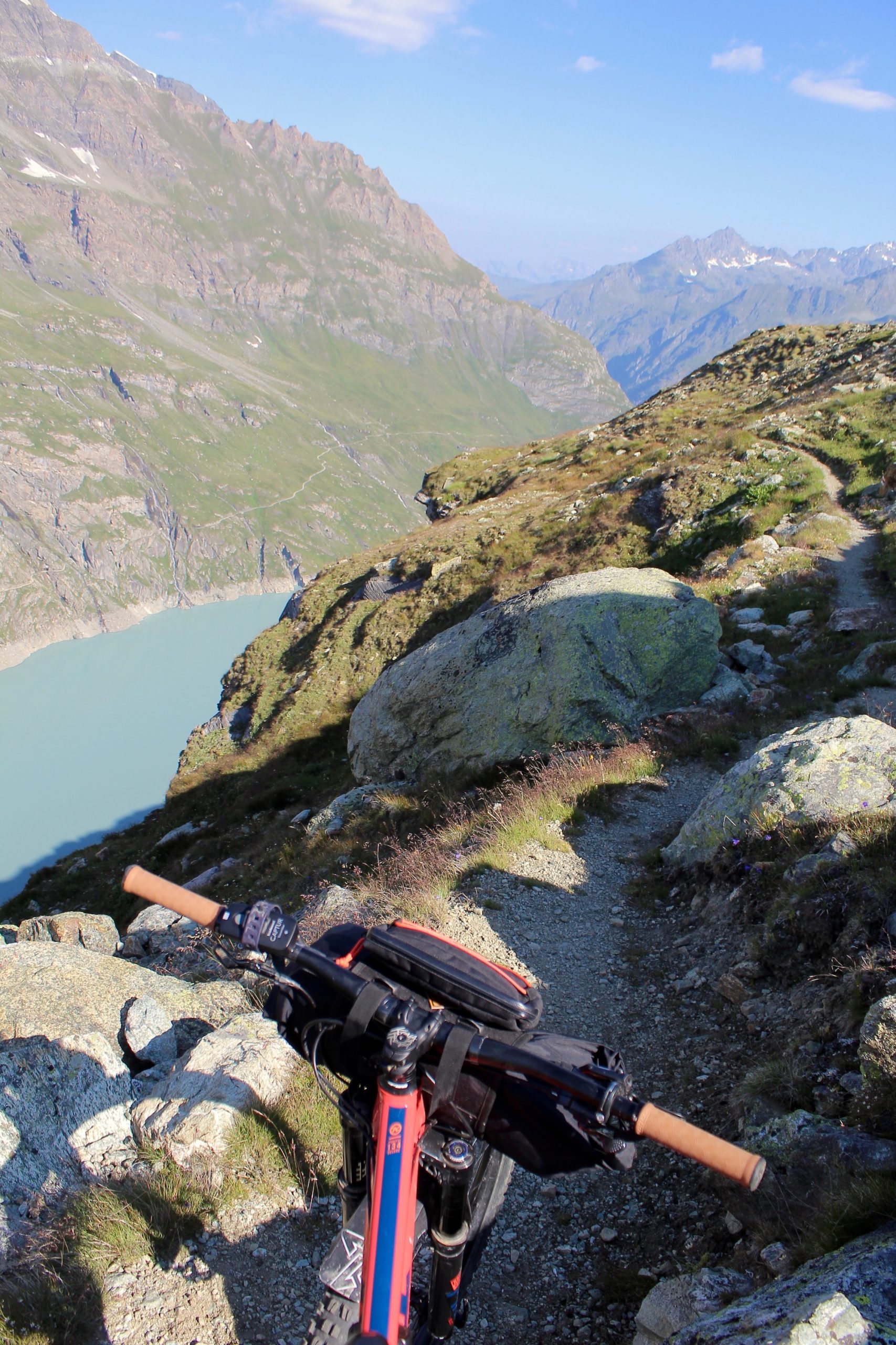
Just after a turn, I reach the top of the cliffs overlooking the Mauvoisin lake. The view is so beautiful that I could almost pitch my tent here and stay there forever.
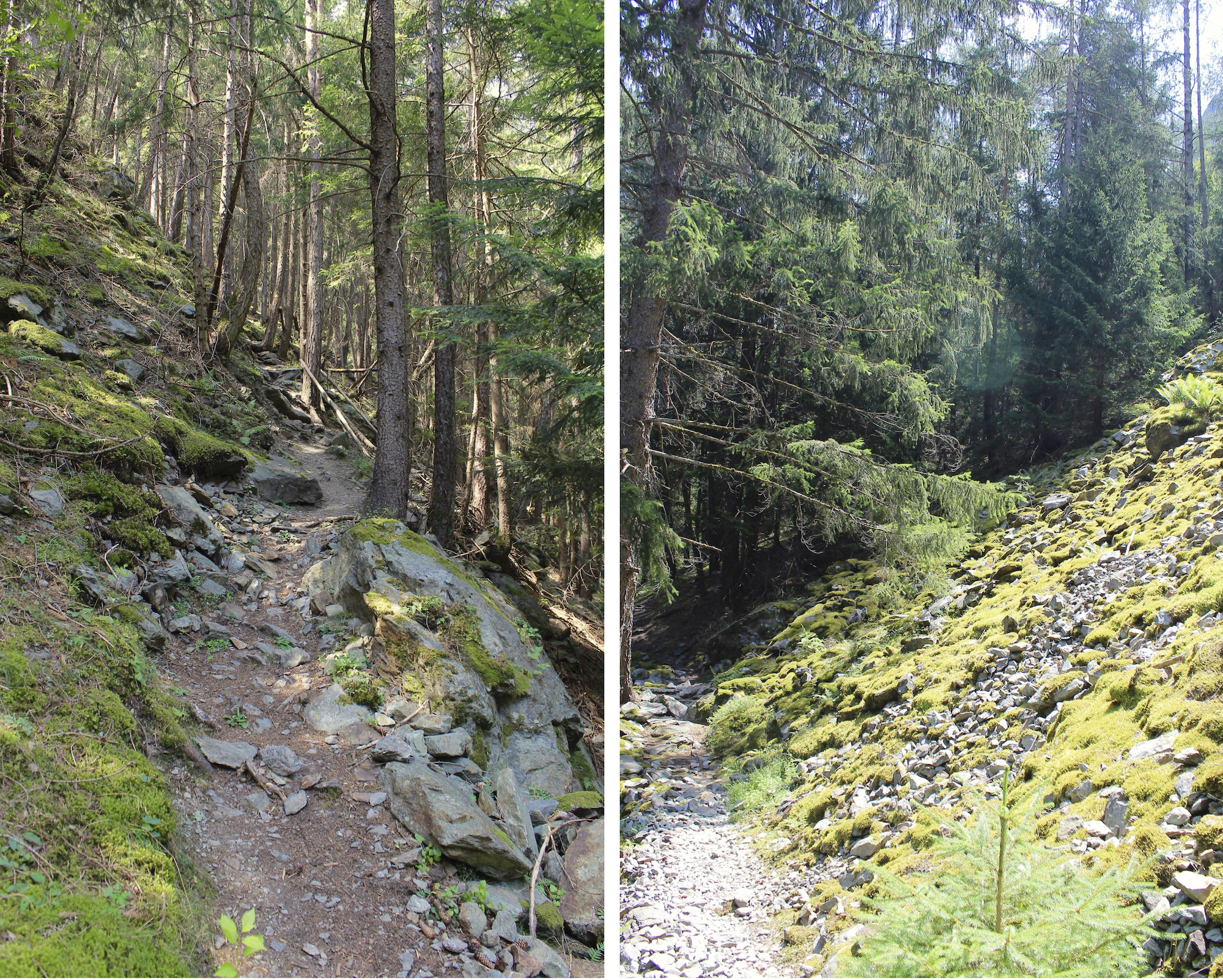
After about 15km of descent I arrive at the dam which allows me to return to the other side of the valley. From there the path becomes wider and goes through the woods. As is often the case with hiking trails, it’s a bit of a lottery to see if everything is rideable on the bike. There are indeed uphill or downhill passages where you have to push the bike but it’s part of the game. The trails are fun with multiples line choice between rocks and roots.

The landscapes are beautiful and as I go down I get closer to civilization.
Around noon I’m in Le Chable but I decide to continue a little further along the river, where I should be able to find a nice little spot for lunch.
Surprisingly, the path that on the map seemed perfect turns out to be anything but rideable. The trail is made of big rocks and boulders where it is impossible to ride. So I hike about one hour, carrying the bike between the boulders and it’s a relief when small sections are rolling. With the heat, I don’t feel like eating anything anymore except a good ice cream.
I’m more than sweaty when I get to the next village and as it’s less than ten kilometers away before the final stop, I decide to finish the descent and eat in Martigny where I know some shady spots. The last few kilometers are on a fairly rolling trail compare to before and with all that sun it feels a bit like the south of France.
Finally I arrive at the end of these 54 km of descent around 2pm. It will have taken longer than expected but I would have taken a lot of fun despite some tough passages. It’s incredible to think that this morning I was at the front of a glacier, almost alone in the world and then to see all the evolution of the landscape, vegetation in just one descent. It motivates me to keep looking at maps and find trails to link together.
