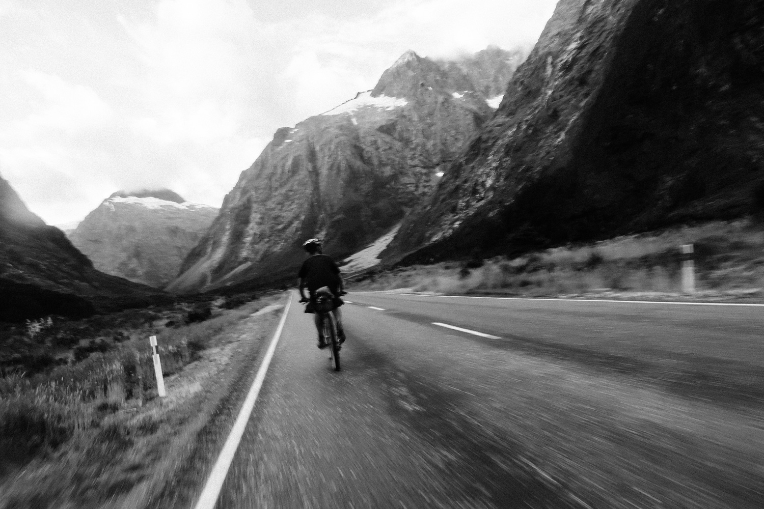
“Did I mention that I’m torched?” Calls Olly for the fourth time that day. Another turn in the road leads to yet another turn of fate. Some days it’s a relentless headwind that grinds you down slowly but surely, other days it’s a constant battering of small rolling hills that gradually diminish any remaining knees you had left. More often than not it’s just the monotony, you just want change. The grass is always greener, but that’s just part of it when you spend your life on the road, watching kilometers tick by, and counting down the minutes until your next small town dispensary. The holy grail and savior of our broken souls. This is what it takes to ride from Sound to Sound.
Day 1: Ship Cove to Awatere Valley
• 170kms
• 3,198m Gained
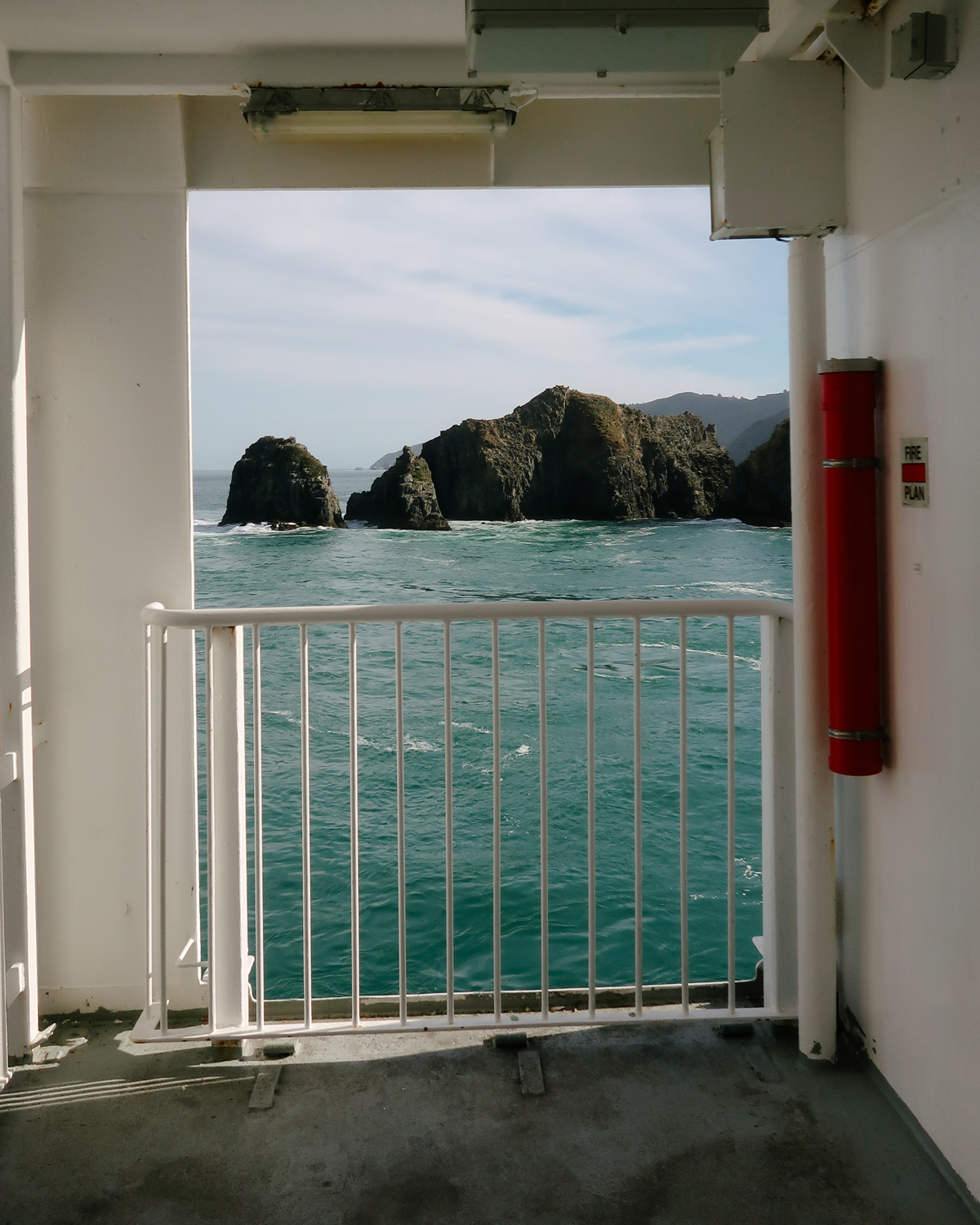
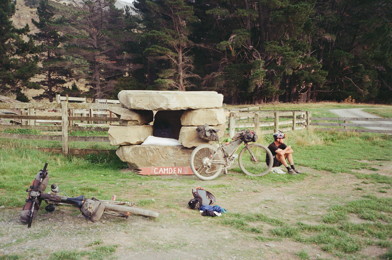
A glorious morning. Calm, balmy, and excitement in the air as we ferried out to Ship Cove at the far reaches of the Marlborough Sound. It’s hard to be apprehensive when you have no idea what’s in store for your day. The brevet life is awfully simple; ride, eat, sleep, you’re at your own mercy. Unfortunately for me, our mercy had somewhat of a predisposition. A light mentioning of completing our ride in seven days had been thrown around in the previous weeks, and without much adjournment, we set off at a fair old clip. 8 am, let’s go.
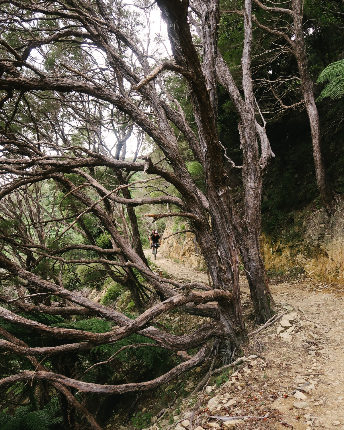
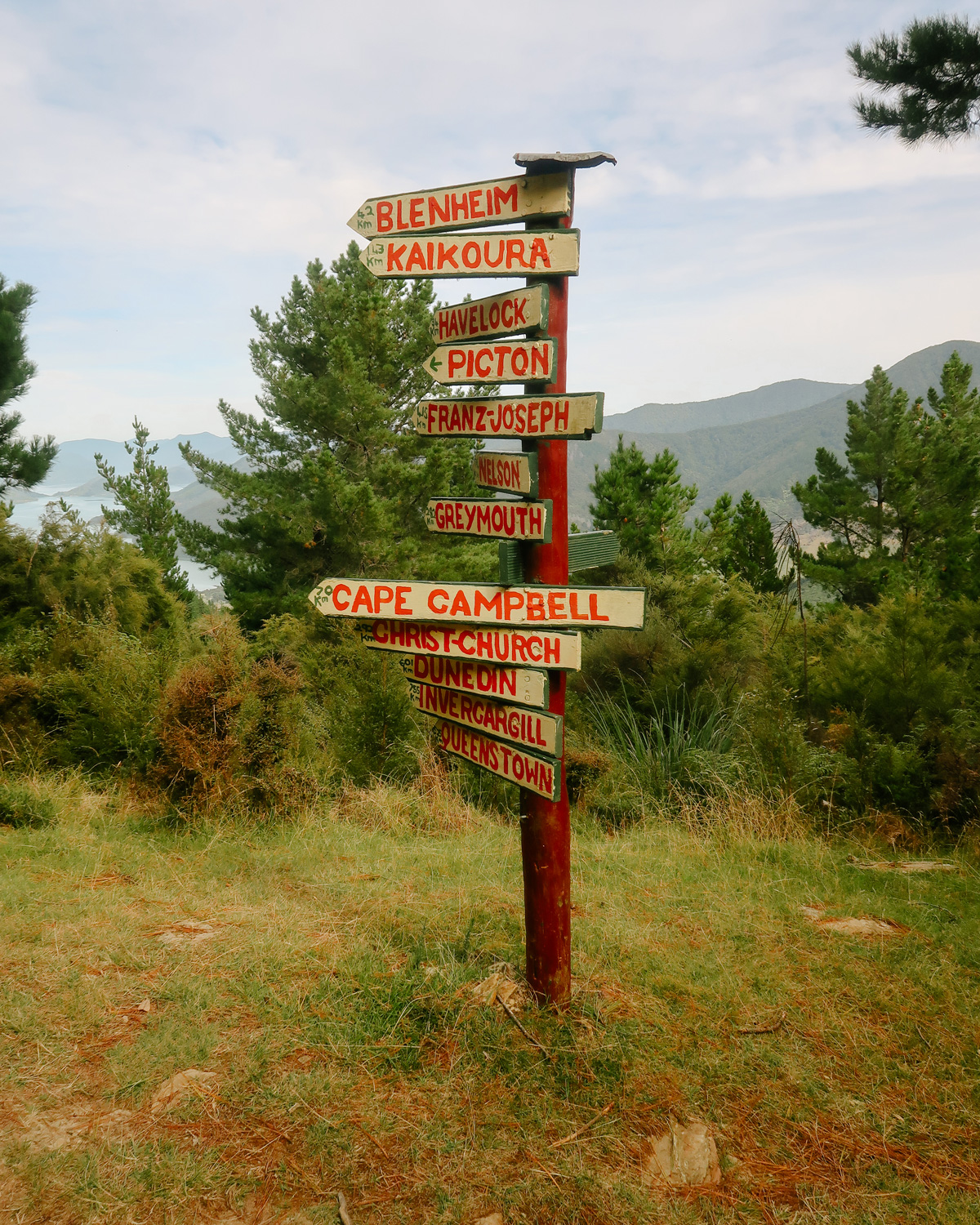
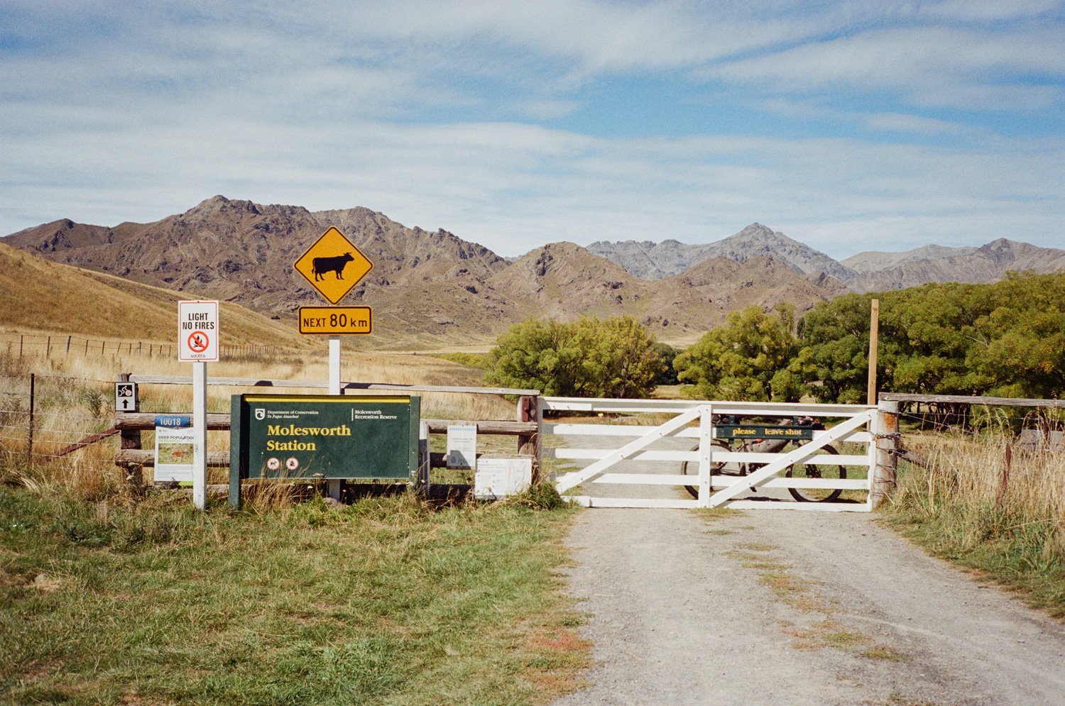
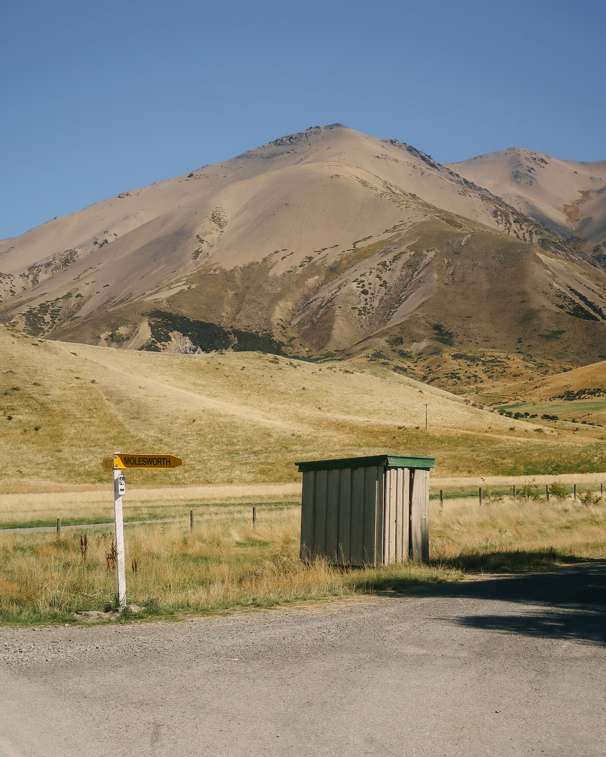
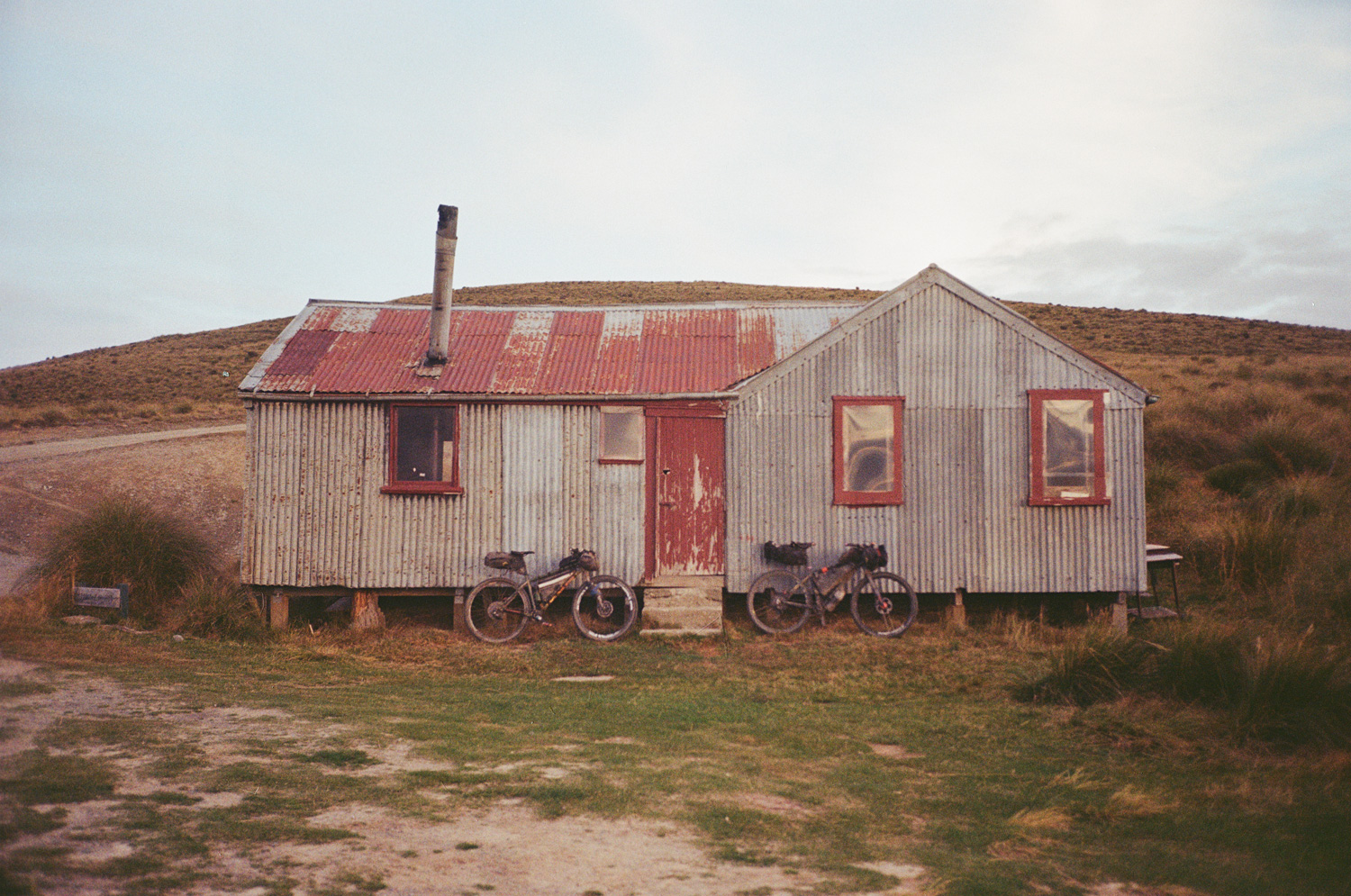
Queen Charlotte track was the first agenda. 70kms, singletrack, potentially a bit of climbing. All boxes were ticked in a matter of minutes. The riding was fun, time passing easily with the constant groan of knees and gears as we mashed our heavily laden bikes up over pinch after pinch along the famed walking route. 55kms in we had surmounted 2200 metres of climbing, and a warm greeting to what the next seven days may hold. Onwards to Blenheim via a rewarding havelock four-square, fried rice, and a coke in the belly, we were renewed. Camp beckoned our destination as close to Molesworth as we dared. A grassy 4wd track next to some beehives sufficed to unroll our bivvies at 9.15 pm.
Day 2: Molesworth to Culverden
• 190kms
• 3,017m Gained
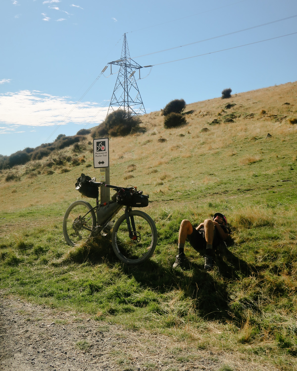
“Don’t worry Upcot Saddle will be the biggest hill you’ll hit all day”, motioned a seasoned vet of the Molesworth area. Up early we made a start into the rolling hills of the farmlands, with all eyes on the topo map for Upcot Saddle. These very same rolling hills would near break us.
Water was a big issue for the day, a stop at a jerry can of water at a roadworker’s camp early in the day turned out to be a stroke of genius as the water was scarce and the heat fierce. This was barren country, and we were in for a long haul without a hint of shade.
Upcot Saddle loomed, 200m of vert maybe, granny gear type stuff. Buggered. But happy as the biggest hill was behind us, we were soon to learn it’s not the size of the hill but the quantity that’ll break you down. Not once was the day flat, seemingly endless gravel rose out of the farmland in front of us. Grind, coast, grind, coast. It was a pattern we were to become familiar with. A few words began to mutter between us, slowly, painfully we were showing signs of being absolutely clapped. It was halfway through day two.
We collapsed in Hanmer Springs. 150kms of relentless, foodless, rough gravel had left us battered and tired as we forced fish and chips down through heavy eyelids. Hands were becoming numb, legs heavy, eyelids heavier. Deciding on a camp spot we figured we are on asphalt now, and it’s only 17 or so km’s down the road to Culverden let’s post up there for the night and get a good start on tomorrow’s “flat day” in Canterbury, which we really planned to capitalize on. 37 kilometers later we rolled into Culverden beaten. This trip was becoming about maths, do your research chaps.
Day 3: Culverden to Windwhistle
• 221kms
• 1,718 m Gained
Alarms go off at 6:30 am. Wake up, coffee, on the bike. Knees groan chains creak. Not this again. Today is flat and mainly asphalt, a somewhat recovery day we thought.
The morning flies by in a flat asphalt haze, this is living. A closed 4-Square temporarily squashes the mood, we had needed that one. But a down-wind 30kms really picks the boys up.
We hit 90kms for the day by lunchtime where we laze about the supermarket entrance after a well-needed stock up. Our next food stop is 60kms away in Oxford, no sweat. Let the headwinds ensue. Average speeds drop, morale drops, and watching kilometers tick by is painful. It becomes a thing to try not to look at your Garmin for longer and longer periods, anything to take your mind away from the realization of your predicament.
It feels as if it will never end, hours feel like days, and pain is everywhere. This was harder than it was meant to be. Shelterbelts offer a slight reprieve, driveways act as wind tunnels and threaten to swipe your wheels out from under you. Suddenly it’s gone. We sneak through a road in the hills, and all is bliss. We spend 9ks coasting endlessly down to our dinner. 193 ks done. Let’s make the most of this low wind and strike out to Windwhistle 25 km away. Should be easy.
We round the corner, evening hits, lights go on and the safety net of the shelterbelts dwindles. The wind roars once more. This time with its full force and this time we are heading directly into it. The dreaded Nor’Wester. Four kilometers to Windwhistle we pull onto the main road and confront the wall of wind head-on. We are doing 10kms an hour. It is hell. We are brought to a standstill whenever we stop pedaling. We reach Windwhistle and set up in the local school, the only place we can find any physical shelter from the wind. Bivvies out at 9:30 pm.
Day 4: Windwhistle to Tekapo
• 205kms
• 2,146m Gained
Our first day with an agenda. Tekapo. Nearly 200kms on the dot into the future. On the bike by 6 am early to find no wind, what bliss. However by 6.30 am the drizzle sets in, and stays that way until 7.45 pm. It is a grim day. Long, flat endless roads of wet gravel mean the first 100kms are slow and tiresome. Nothing quite as depressing as a 10km straight road. We probably only make about four or five turns all morning. By Geraldine, we have done 100kms and are falling asleep in the local Subway, absolutely soaked through. A quick look at the topo map suggested we were in for a harder 100kms to Tekapo, but it didn’t look unfathomable.
“I’d happily never set foot on this road again”, mentioned Olly. “I’m glad I’ve ticked this area off as I’m never setting foot, here again, it’s horrendous”. What entailed was a never-ending bog of sodden gravel roads that climbed and climbed endlessly. It was tough going, the boys were getting cold, and the roads turning into more of a muddy soup than a gravel highway. Morales was tested, and exactly what I had signed myself up for in doing Sound to Sound. I wanted something hard, turns out it’s relatively easy to find in this country.
Dead beat on the side of a backcountry road at 150kms the time suddenly dawned on us. The four square and all motels closed at 8, we really wanted a warm place to sleep and dry our clothes after a day of relentless rain. We set about firing all remaining cylinders and what formed was a 50-kilometer time trial. Barely a word was spoken, we both knew the job at hand and went to work. It seemed we had found another gear. We arrived at 7.55pm to the four square shutting up shop, they held open the doors long enough for us to grab the essentials. Chocolate mMilk, croissants you name it. The rain finally abated. Life was good, the boys were beaten.
Day 5: Tekapo to Oturehua
• 215kms
• 1,940m Gained
A 50km commute to breakfast in Twizel. A big ride by any normal standard, by this point we were a well-oiled machine, albeit running on the smell of an oily rag, but ticking off km’s had become a way of life. We were finally in the throes of this adventure, and beginning to really thrive, (my knees might argue this point) but it was a simple existence.
A beautiful fast day opened before us, and we were seriously enjoying ourselves. Some fun flowly singletrack skirted the sides of Lake Ohau. Our first flat was the only hindrance of the day, a quick plug and we were off to Omarama for a big feed at 130kms. We were out of the flat Canterbury region and beginning to hit the beautiful high country and the big agenda of the day. Omarama saddle. A gruellingly steep climb of 600 vertical metres. The topo map suggested a relatively easy exit down a valley, however, we had had word from a competitor on an earlier wave that this was extremely slow going.
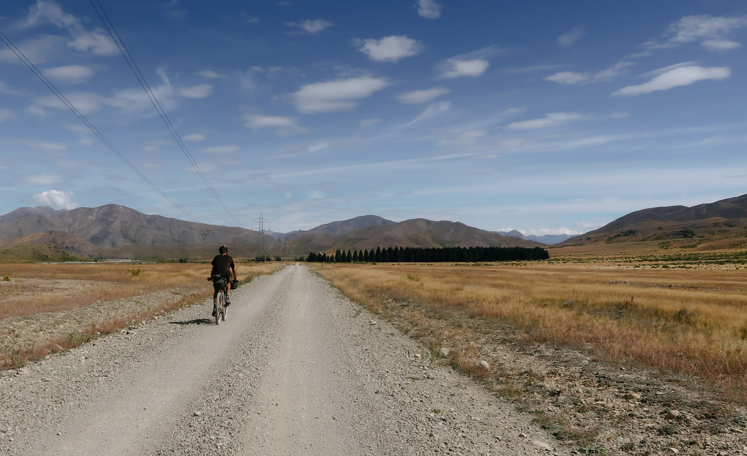
The day was late and the sun was low as we crested the saddle. The going was slow, the river crossings plentiful and the feet resigned to being completely sodden. The track consisted of half-buried boulders, and if you weren’t on the track you were wading a river. It took us nearly two hours to do the 30 plus river crossings and 10 kilometres out to the valley end, and by now the light was fading. We were deliberating where to camp. I’d been dreaming of a certain downhill the whole trip. A nice steep climb, and an endless coasting downhill where I could watch the kilometres tick by before my eyes. The exit from the Manuherikia Valley was to all this and some. Climbing out of the valley, and with the lights on we crested a hill and started rolling, and off we went. What dreams are made of? Rolling effortlessly at 30kms an hour we ticked off ten glorious k’s without barely a pedal stroke. We were back. With our sights on the nearest small town of Oturehua, we danced on the pedals as if we had just started the day. I was enjoying myself, and we were making more progress than we had envisioned for the day. The local pub was open to provide some hot food, to round out a seriously enjoyable day on the bike, in some of New Zealand’s most remote and untouched landscapes.
Day 6: Oturehua to Athol
• 197kms
• 2,620m Gained
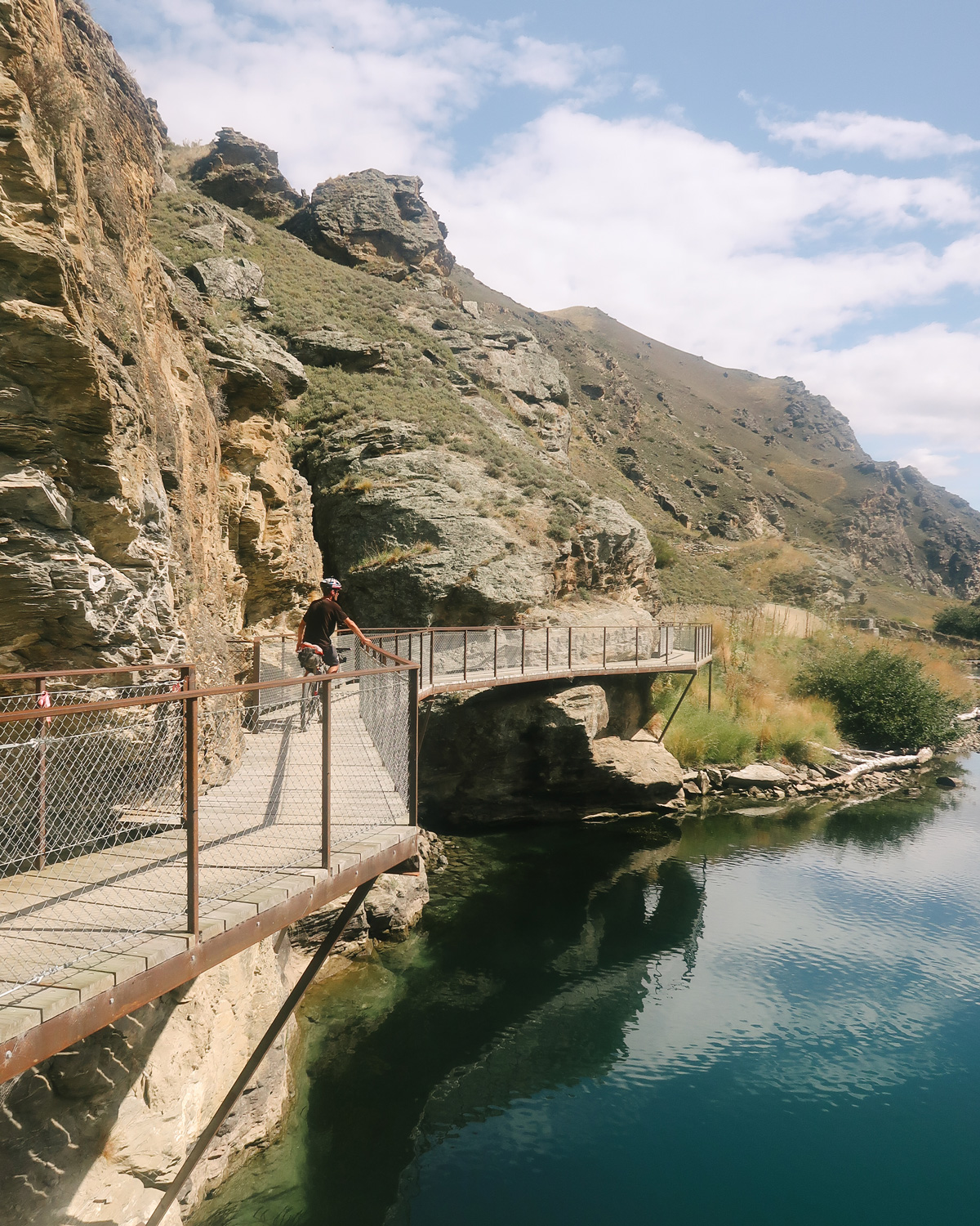
Morning mate. Surprise another big day planned. Crisp and clear we had a relatively easy and surprisingly good ride down the famed Otago rail trail into Alexandra. Marvelling as we passed through tunnels dug by hand in the early 1900 gold rush era, the sun rising and a well-formed gravel track had us passing the kilometres with ease. We live in a beautiful country. Alexandra for a coffee and scone with the crisp morning quickly dissipating into a sweltering day, we pushed onto the newly formed Dunstan track. Popular with the older generation, we were riding it the opposite way to the masses and had to do many a polite pass as we stormed through the engineering marvel. Skirting the side of Lake Dunstan, this trail clings to the cliffs and at times overhangs the river to make for a stunning ride on such a clear and calm day.
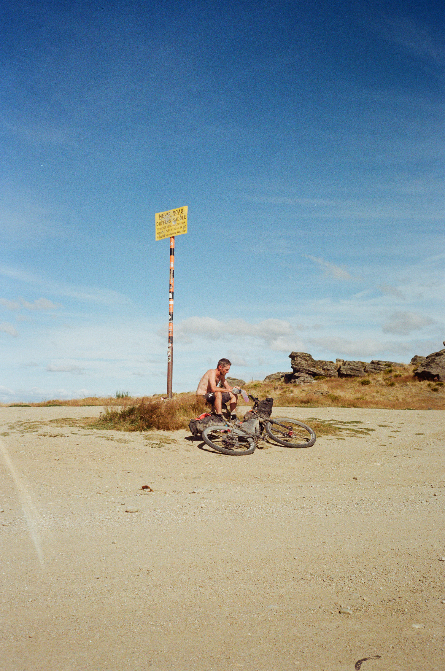
113kms in we hit Bannockburn, I was feeling the pangs of 5 days on the road, yet the biggest and highest point of the ride was to come. The Nevis road is New Zealand’s highest public road topping out at 1258m, and we had to climb every inch of it. With a chicken burger and fries in us, we hit the base at 2:30 in the afternoon and the hottest part of the day. The next hour and a half were gruelling. Scant of shade and incredibly steep in places we winched ourselves to the summit to huge satisfaction. We were knocking this thing off.
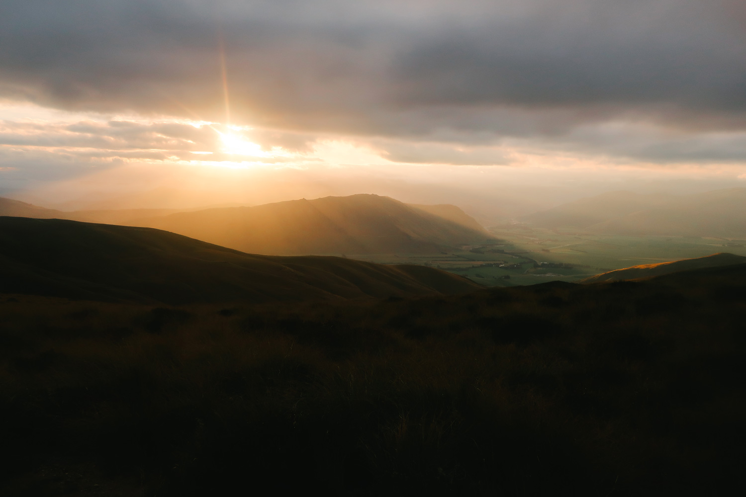
I hadn’t factored in how hard the next 30 kilometres would be. Surprise. Exiting the valley was a tough one for us mentally. As we dropped into the Nevis Valley, the enormity of it stretched out before us. A false flat, slight headwind and rough gravel all did their part in toying with us. Being able to see your destination as a faint mirage in the distance is what really plays with you. 10 minutes go by, no closer it seems. Head down, grind, no closer. Time takes on a whole new meaning. All you can do is turn those pedals. Get bounced around, wince, and keep pedalling. Finally, the mountains seemed to close in, we were getting there. After what seemed like hours, we crested the hill in the distance to a spectacular scene. We had exited high on the ridgetops overlooking Garston and had a magnificent downhill into the setting sun in front of us. It’s amazing how quickly one of the lowest points of the trip can be juxtaposed with such highs. We were in awe. This is why we do these things. To see the beautiful country in its best form from amazing remote vantage points. We rolled the last 15kms into Athol for a night in the local park and a couple of cheeseburger deliveries from our friends. Content.
Day 7: Athol to Milford Sound
• 238kms
• 2,249m Gained
The final push. Let’s go. On the bike at 5:30 am this was going to be our biggest day yet. A warm, misty morning greeted us. Along with 80 farmers’ gates. Open gate, close. Ride 10 metres. Open. Close. We wanted to get in a rhythm but were thwarted by the endless stopping and starting. The key to riding big days is just breaking it down into achievable goals. All we wanted this morning was to get the 50 kilometres for a big breakfast and coffee in Mossburn. We dragged ourselves there bleating. The skies opened and we were off. The next 90 kilometres were a breeze. Relatively flat, fast and the realization we were about to knock this thing off at the forefront of our minds. What a journey. We hit Te Anau having done 130 kilometres and soaked it in. Only 100 kilometres down the Milford road to go.
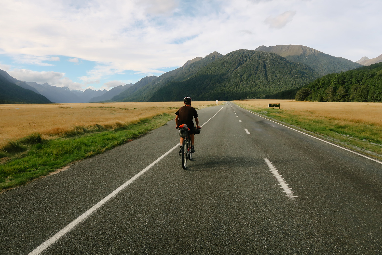
Milford Road is beautiful. And to ride it by bike was something else. Especially in its current quiet state due to Covid. We only had one car pass us for the entire journey on what is normally an orchestra of tourist buses and rental vans all eager to get their glimpse of this stunning part of the country. We really soaked this part up. Just cruising in the warm afternoon air with the entire road at our disposal, we were in awe. Towering peaks and magnificent glaciers lit up in the sun as we had just the sound of birds and hubs to keep us company. A sense of satisfaction and achievement washed over us. After what seemed like a lifetime ago leaving the warm confines of the ferry in Marlborough sound, we had traversed the country and witnessed so much of our country first-hand, by bike.
The ability to slow things down, and simplify life is underestimated in this fast-paced world. There is so much to see, and the humble bike allows you to see it in such a unique manner. This has been my first multi-day bike packing adventure, and as I roll into Milford Sound and marvel that I got here with my own two very worn legs, I realise I’ll be back. I quite like my bike.
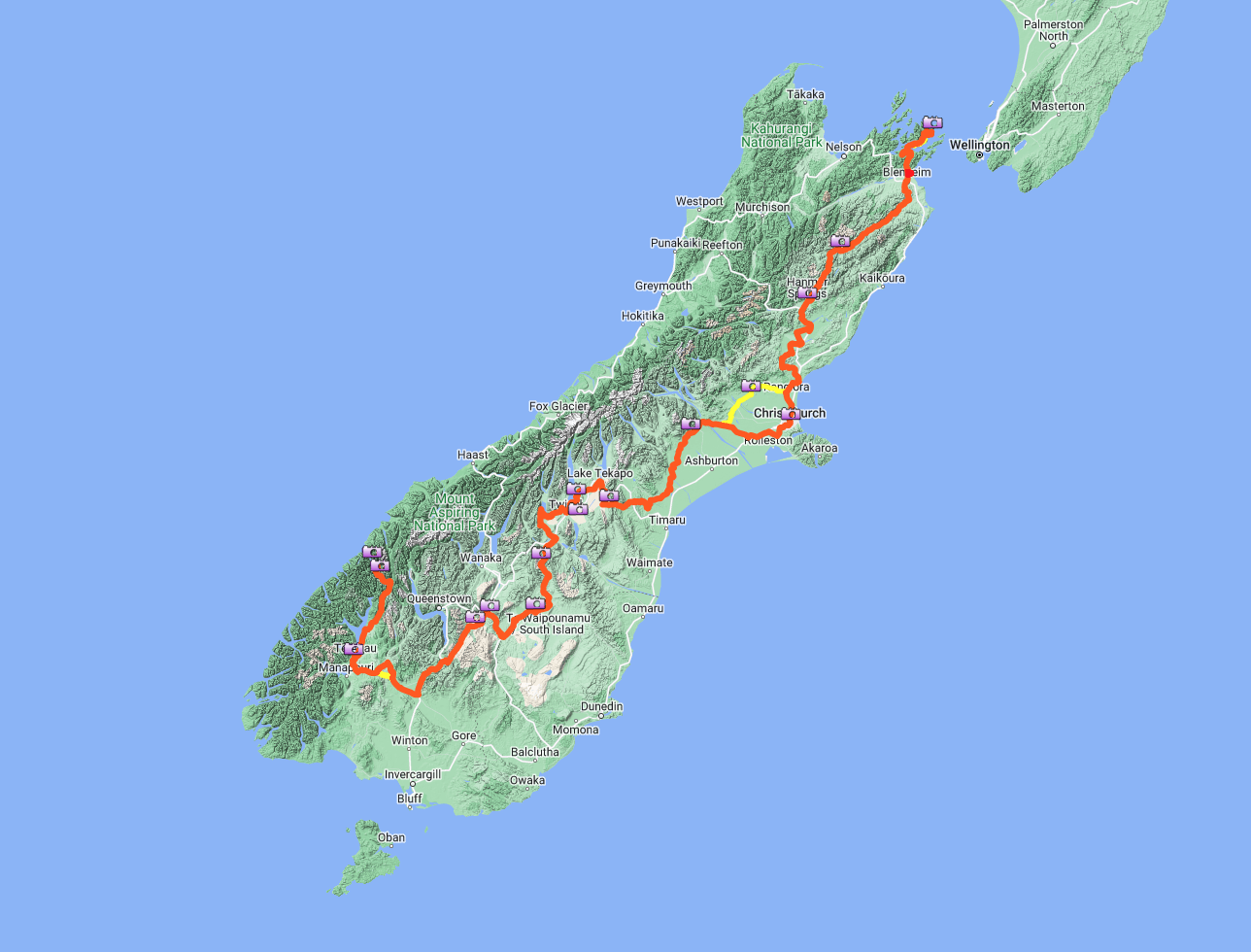
Sounds 2 Sound
Ship Cove, Marlborough Sounds to Milford Sound
• 1480 kilometers (919.5 miles)
• 16,888 meters of climbing (55,400 ft)
• Seven days
• 200+ km per day
• One motel stayed, one hut, five bivvy
• Eight pies ( two in one sitting in Mt Somers)
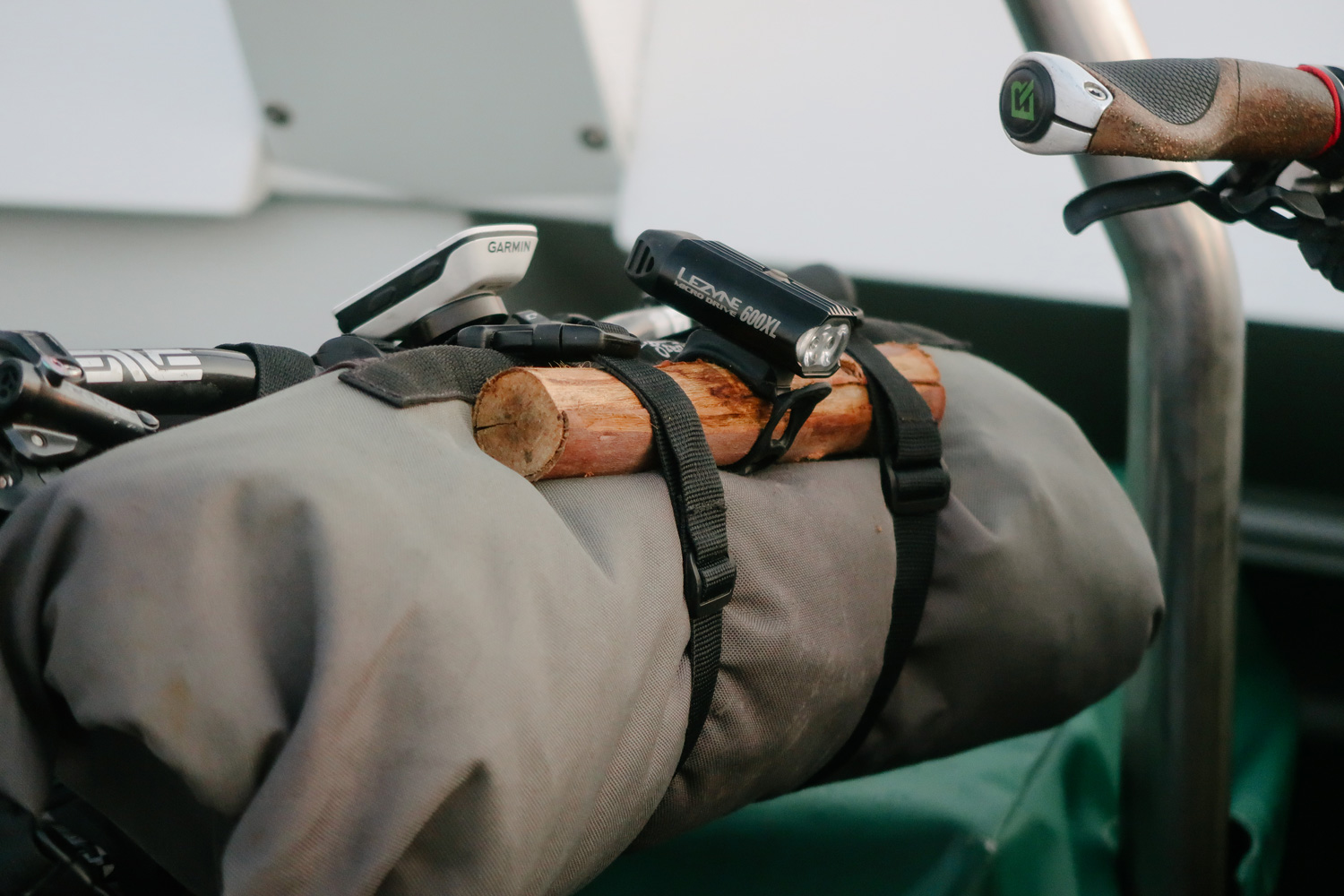
On bars:
• Garmin InReach ( Tracker/ safety)
• Garmin Edge 520 ( letting us know time and distance on the fly)
• Lezyne Power Drive 600 light
Stealth handlebar Roll:
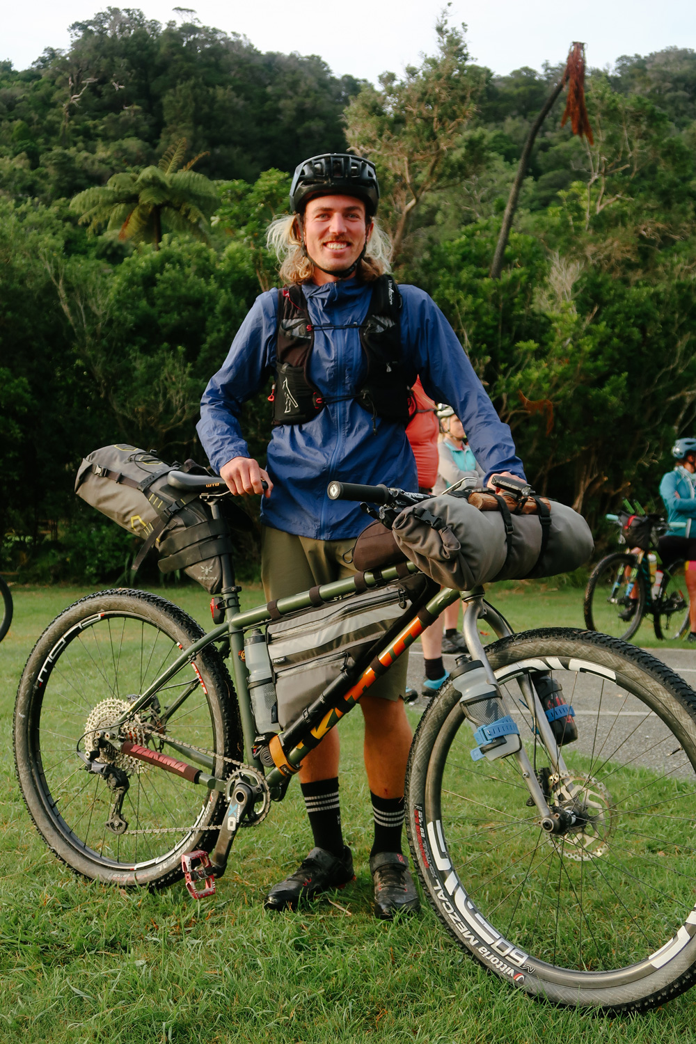
• Outdoor Research Alpine bivvy
• Spare merino long sleeve
• Patagonia Houdini jacket
• Endura MT500 jacket
• 1 x spare socks
• 1 x spare undies for at night
• 1 x board shorts for camp
Stealth frame bag:
• Assorted tools and spare bolts
• Chain lube
• Sweet Cheeks Butt Butter
• Gloves
• Petzl head torch
• Rest was packed with food
Apidura seat pack:
• Macpac puffer jacket
• Mountain Hardwear phantom -9 sleeping bag
• Klymit sleeping mat
• Sea to summit inflatable pillow
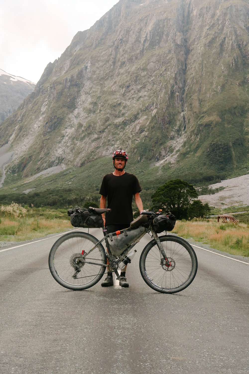
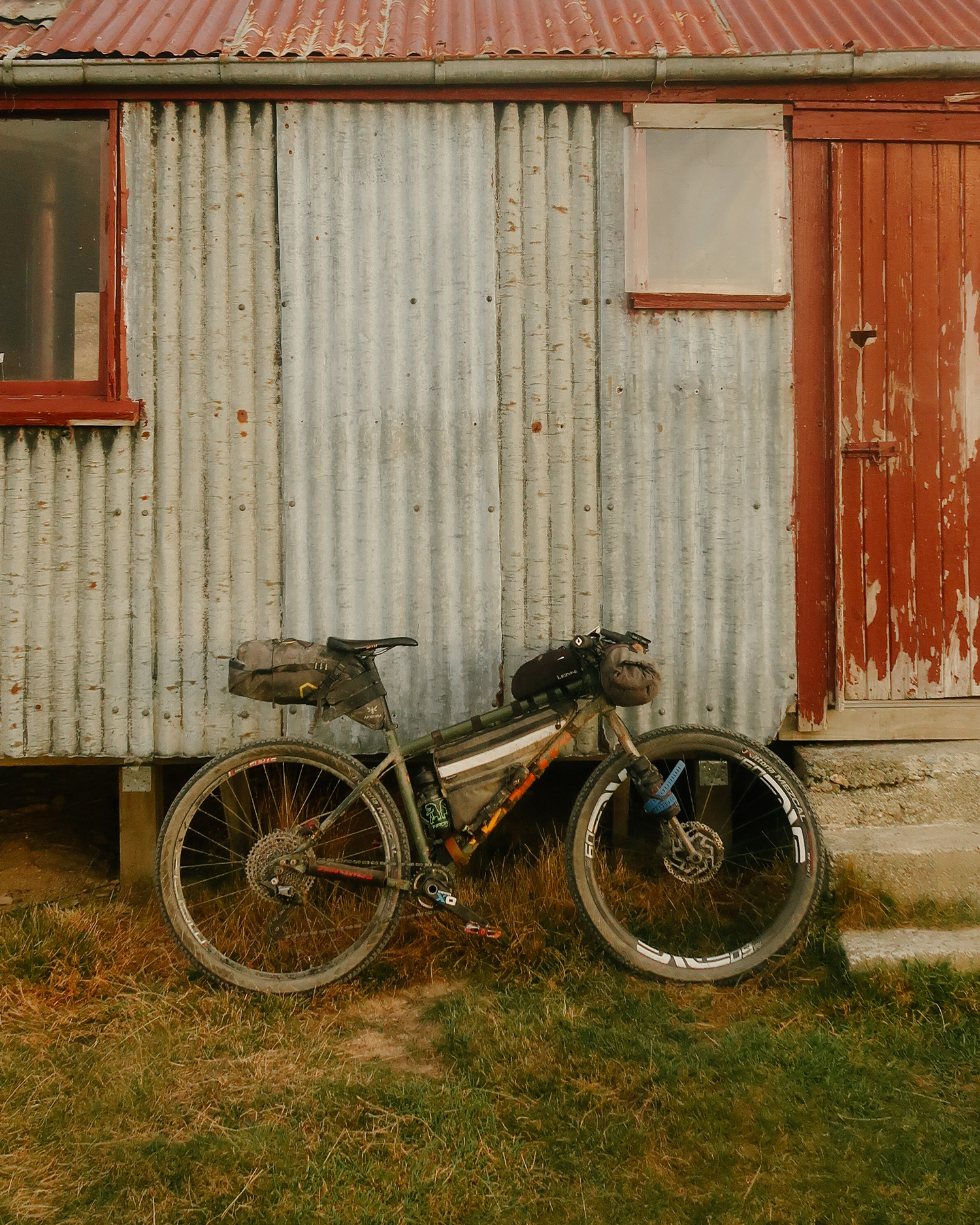
Bike:
• 2021 Kona Unit frame size Large.
• Deity Copperhead 35mm stem
• Enve M7 bars 760mm width
• Vittoria Mezcal G2.0 tyres 2.25
• Enve M60/40 front wheel
• Stans Flow on Hope Pro 4 rear wheel
• Shimano Deore 2 pot brakes
• Shimano Deore 12 speed drivetrain
• SRAM XO cranks.
• Stock seat / seat post.
• OneUp EDC 100cc pump and EDC tool
Words and Photos Sam Baker
Sam has been in the bike industry most of his life. Originally hailing from Auckland as a washed up World Cup Racer, he know resides in Wanaka, New Zealand, a place overwhelmed with adventure. A Freelance graphic designer by trade, he has worked across many outdoor brands, aswell as serving time as a writer, and designer for local mtb magazine; Spoke. With Queenstown on his doorstep, it’s usually the Kona Process X at the disposable, but an ever growing fascination with punishment and sightseeing has lead to an exploration into bikepacking aboard the Kona Unit. Whatever the job, there’s a tool at the ready.

