A few things came into play, which lined up my double rockstar extravaganza. The first thing was that I had to get my truck. When drawing up logistics for my Rockstar trail trip I knew I had to figure out a way to get back to Harrisonburg for my vehicle. I have been trying hard to drive less the last couple years so getting someone to help me do the pick up, drive two vehicles, was out of the question. As we all know the climate crisis is wreaking havoc on our world so I try my best to drive as little as possible. Sometimes this turns into silliness…
The second thing was, simply, that the route was there! The Rockstar Gravel route had been much talked about in my circle of friends over the past year so I knew it was only a matter of time before I would get to it. Moreover, the route parallels the Rockstar Trail, instead of linking the best single track the Rockstar Gravel links up the best backcountry, farm roads, and gravel over 250 miles with 25k of vert. As I was doing the trail route I had the gravel route in the back of my mind and scoped out some primo camp spots along the way.

The third and final thing that made this plan a reality was a couple friends had expressed interest in joining. Everyone knows bikepacking is much more fun with friends. Not to mention this would be both of their first times out so I was super excited to help them dip their toes in the metaphorical waters, little did they know what they signed up for…
After finishing the Trail on Wednesday I took the weekend to relax. Then we packed up bikes on Monday and set off on Tuesday around noon.

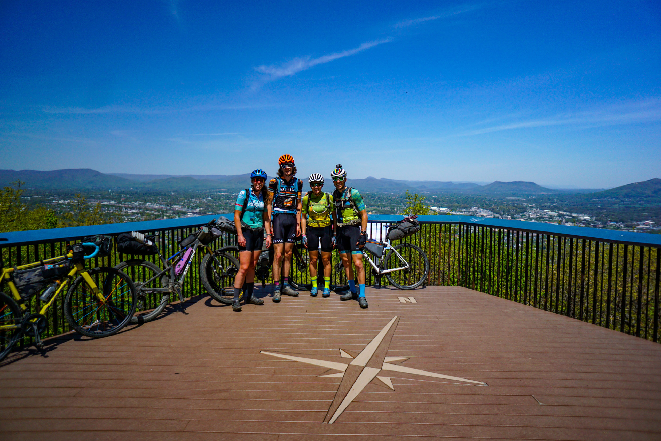
We were riding the route in reverse, so the first stop was to hit the Mill Mountain Star. Everyone groaned and complained because we hadn’t even left town yet and we had to climb a hill… This set the tone for the trip. There would be lots of wining and complaining moving forward. Mostly, because I was the only one who decided to put the route on their gps unit.
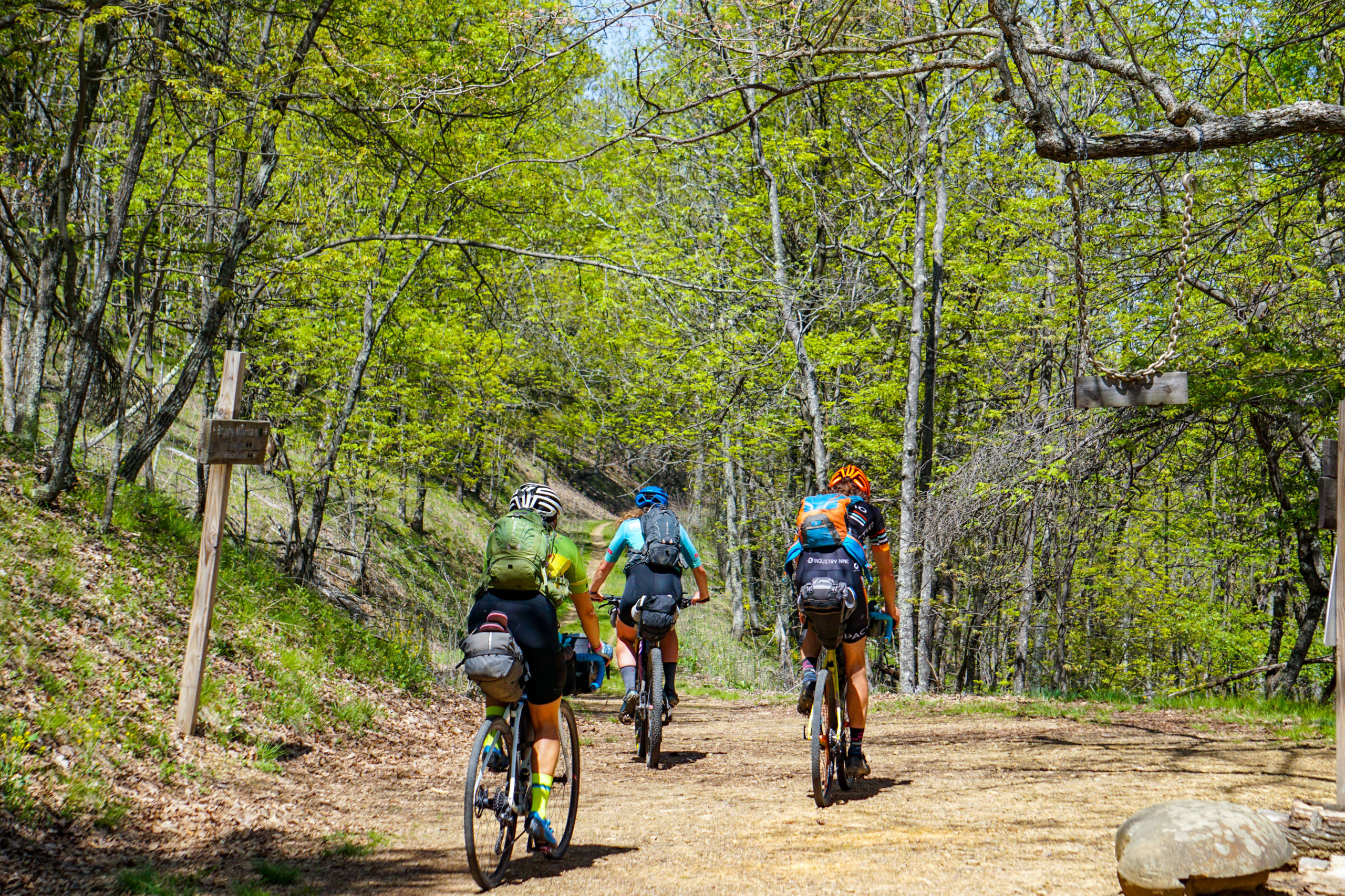
After cruising out of town on bike path we hit Carvin’s Cove. There is a service access rd that climbs up and over a ridge and drops down to the other side of the reservoir. This was the first off road test for our bags and setups. Luckily, we passed the test as everyone and their bikes ripped down the chunky Brushy Mtn Rd in one piece.
A quick pavement transition over to Catawba were we stopped at the general store. This was roughly 48 miles into our 63 mile day. One more section, of awesome gravel, separated us from our camp spot. But everyone was cracked!
Erica was freaking out because she was the only one on an mtb and the first day was mostly road so she was feeling a lot of extra rolling resistance. She was worried that if everyday was going to be this hard she wouldn’t make it.
Spencer was cracked because he decided not to train and to solely rely on heritage fitness to make it through this trip. He, at least, knew what he was in for. A very long and arduous 4 days with lots of time spent laying on the ground.
Emily was actually ok, though she hadn’t been riding much in the weeks leading up to the trip because she hurt her knee a few weeks back and had to take a bunch of time off to let it heal.

Basically, I was leading 3 wounded warriors into the wilderness with no bailout plan except the truck waiting 200 miles north. An aside, I didn’t know it at the time but Erica actually had a friend of ours on retainer. On the first day she said, via text, “If I don’t text you by noon tomorrow I don’t need you to pick me up…”
After loading up on gas station snacks we sauntered off towards Wilderness Rd. I had my fingers crossed that the doubts exposed at the gas station were simply first day jitters. So we took it easy for the next 15 miles. I tried my best to withstand the complaints as we passed suitable campsites and everyone, frustratingly, wondered out loud why we were still riding. I told them that I saw this awesome campsite during my Rockstar Trail ride and it would be worth the wait.
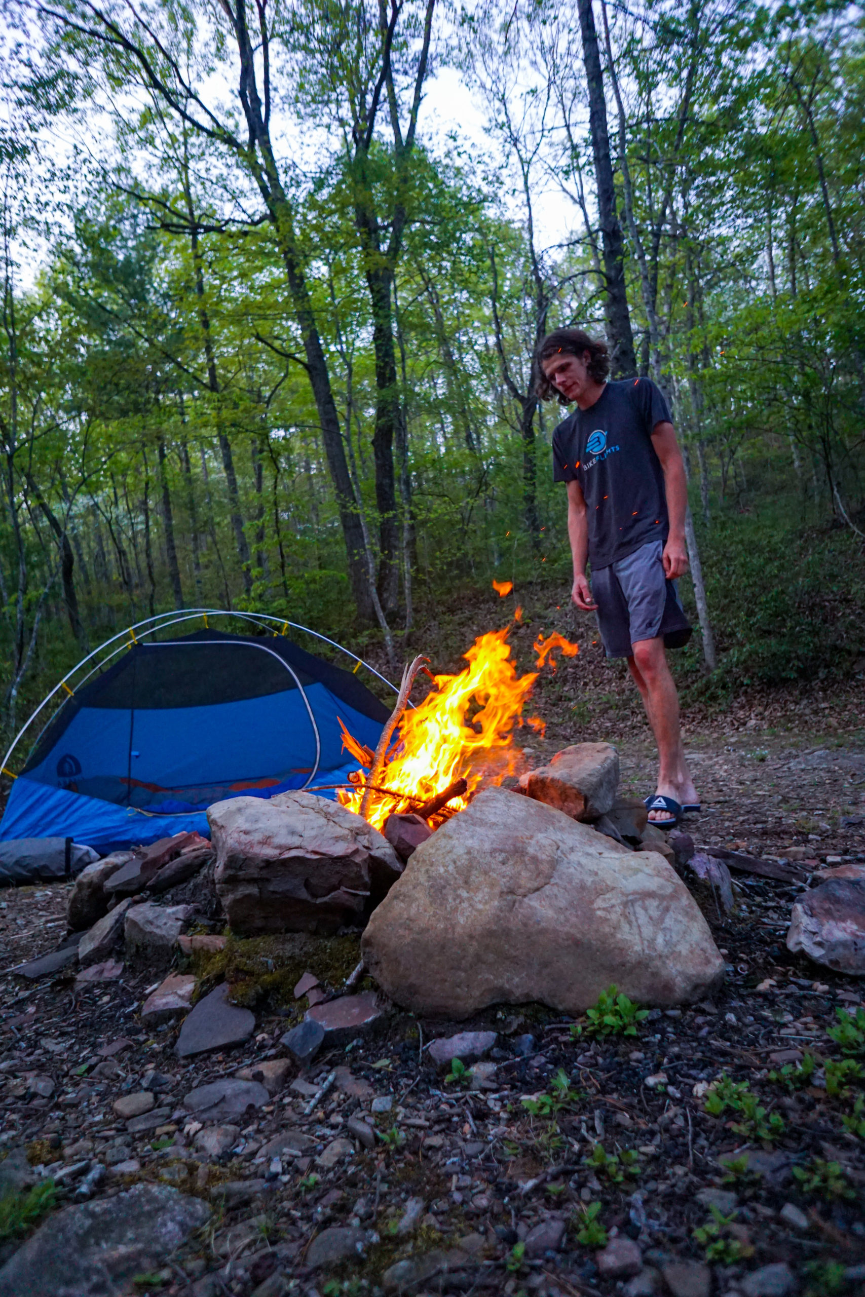
By the time we got there everyone was at their wits end. No one said much that night as we pulled into camp except that they figured since the first day was a lot of road, and took us 5.5 hrs, the subsequent days would likely take us even longer. Spencer laid on the ground, Erica stewed, Emily just wanted to sleep, and I built a fire, for morale. Camp fires are good for morale.
Day 2 started out nice and sunny. Everyone slept well and came out of their grumpy, fearful, states. I wouldn’t say everyone was ready to attack the day. It was more like there wasn’t anything to do but move forward.
The silver lining for day 2 was that we were ending at Douthat State Park so we would have a hot shower, electric, a flat spot on the ground to sleep, and a lake to swim in at the end of the day. Plus, we didn’t have to filter water!
We started on pavement then hit some fresh, chunky, gravel for 8 miles. It was flat and somewhat breezy, let’s call it confidence inspiring. Then we hit some more pavement and climbed up Roaring Run rd, across Rich Patch and dropped pavement into Covington, Va. We were 40 miles in and had about 18 to go. So we hit subway for some “real” food and topped up snacks at a gas station.
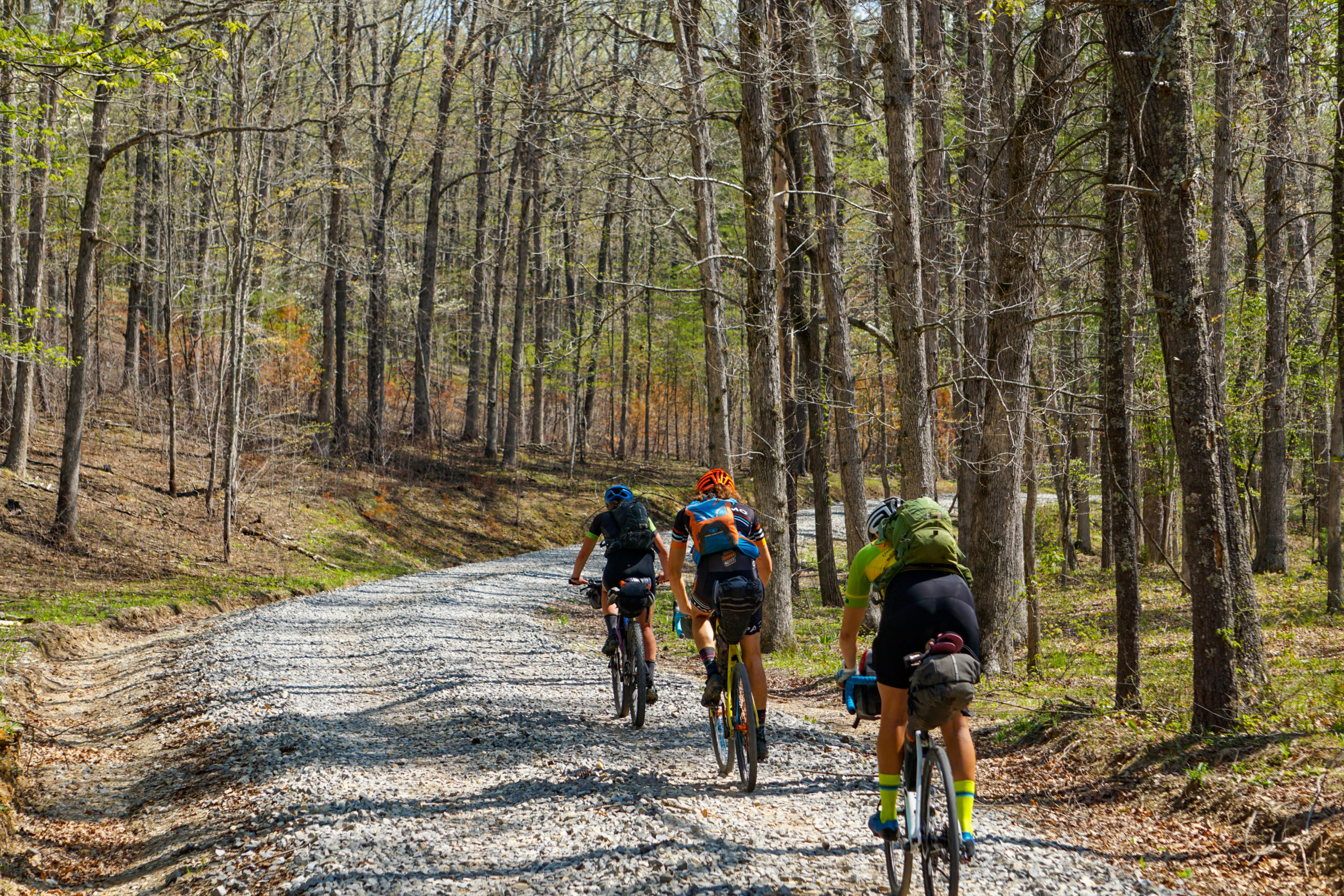
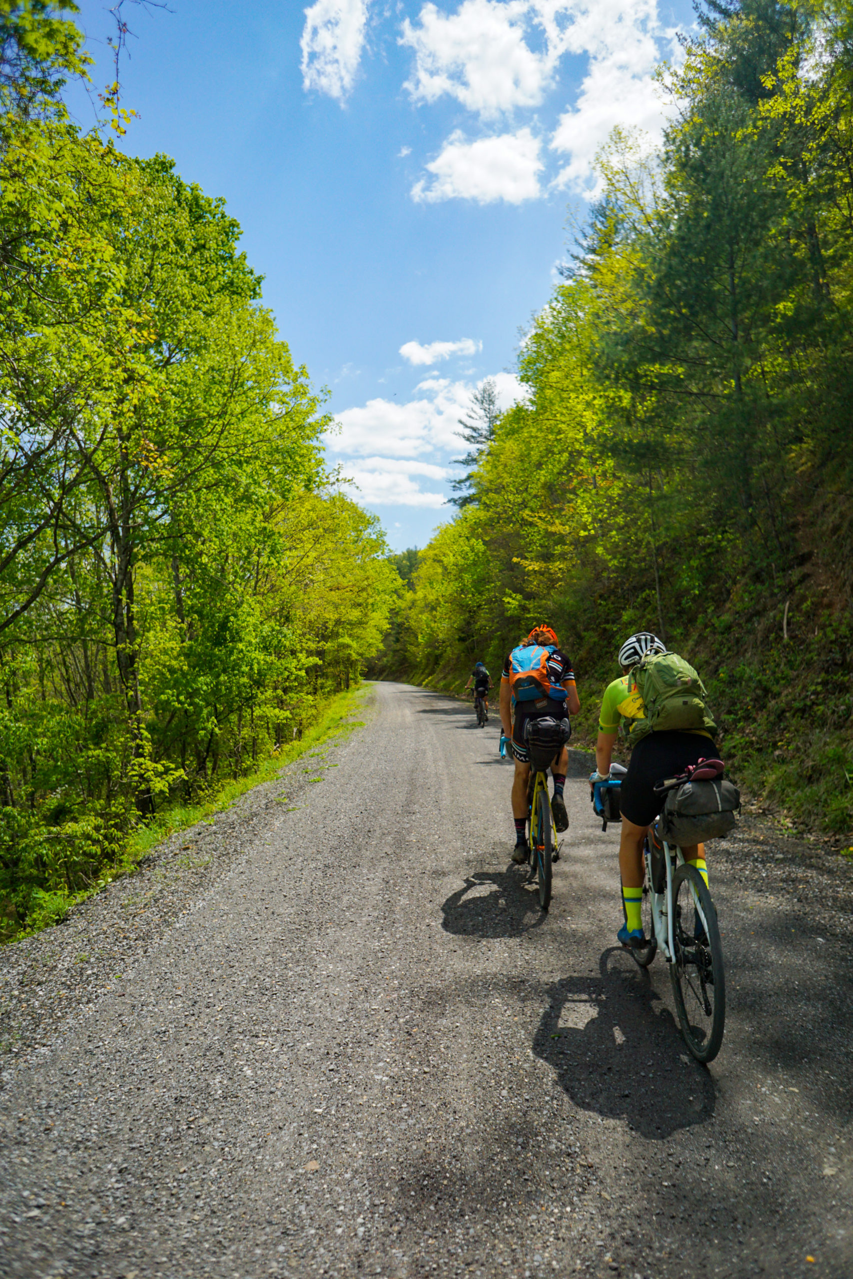
As soon as we left Covington town limits we hit gravel and it didn’t stop until we got to Douthat. In my opinion the gravel was pretty mint. Much nicer to ride than the chunky stuff we hit earlier this morning. The problem was that the cracks were starting to open again. This would happen every day around the 4.5 hr mark. Everyone was asking me for estimated elevation and of course when a climb would pop up, after declaring “down hill”, I would be on the receiving end of the abuse.
Luckily, we did descend into Douthat, which was great for morale. We went straight to the beach at the lake and jumped in.
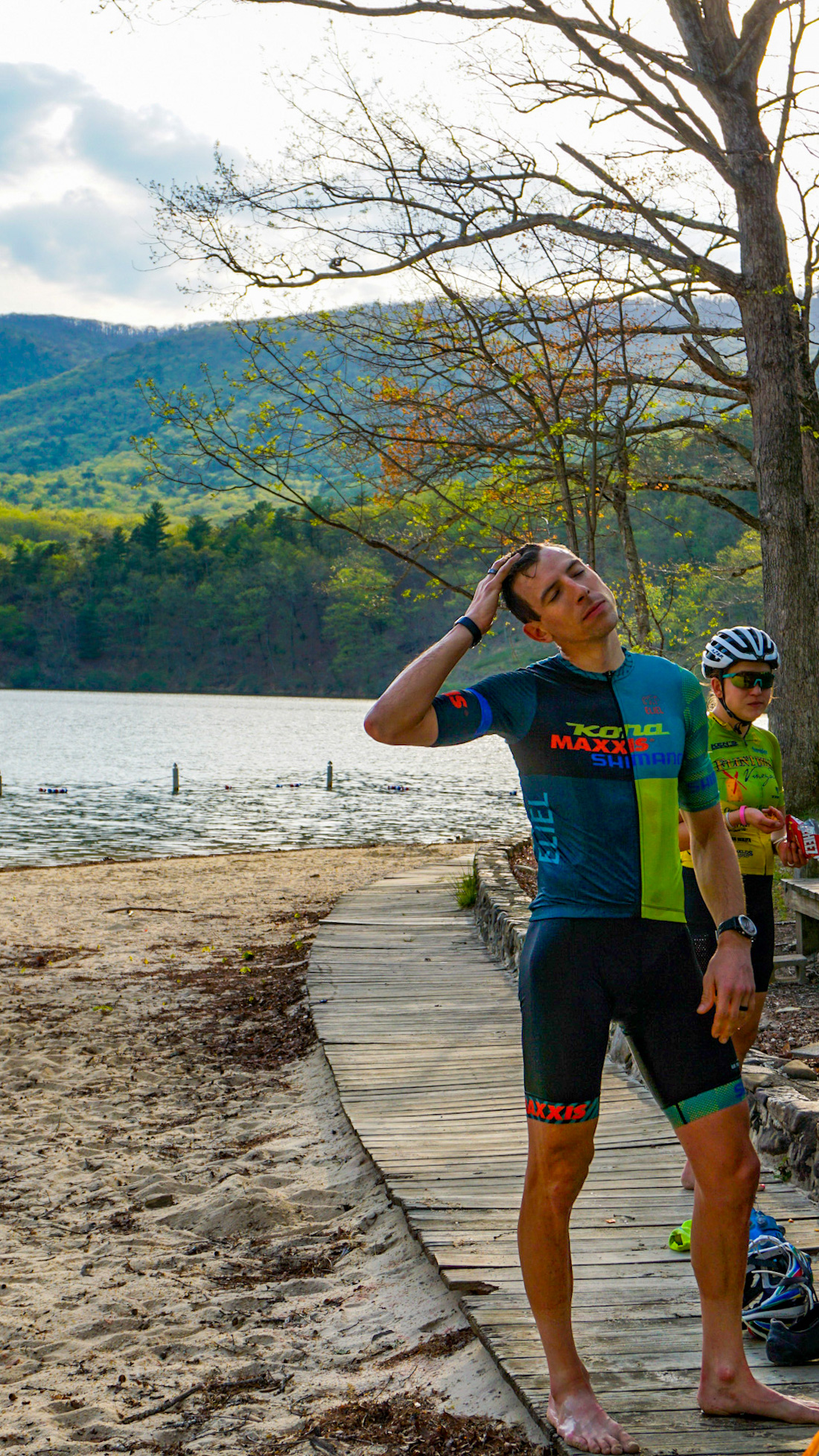
We missed the camp store by about 30min, so no ice cream but we checked into our camp spot, showered, cleaned our chamois, pitched tents, rehydrated meals, and went to bed early. It was so nice that we tried to sleep with no rain flys only to wake up 45min later in a drizzle followed by a frantic sprint to put on rain flys in the dark and salvage chamois from getting soaked.
Day 3 was the queen stage. It was roughly the same milage as the other days but it boasted the most climbing and the most rugged, backcountry, bits of the route. We were entering the Shenandoah Mountains. But first we stopped at the camp store to resupply. We would have to be self sufficient all day until the end of the day, 66 miles later, where a general store stood with, what I pictured to be, an angelic aura.

With bursting packs we took off and grinded gravel straight away. We rolled and twisted our way through the Douthat Valley before hitting pavement for 10 miles through the Fort Lewis Valley. We savored this, as it would be our last for a while.

From here it was 8 miles up gravel, a short break, then 3 miles up. The road was awesome! It twisted and undulated and didn’t feel like much of a climb as we meandered our way along the north slope of the Shenandoah Mountain range.
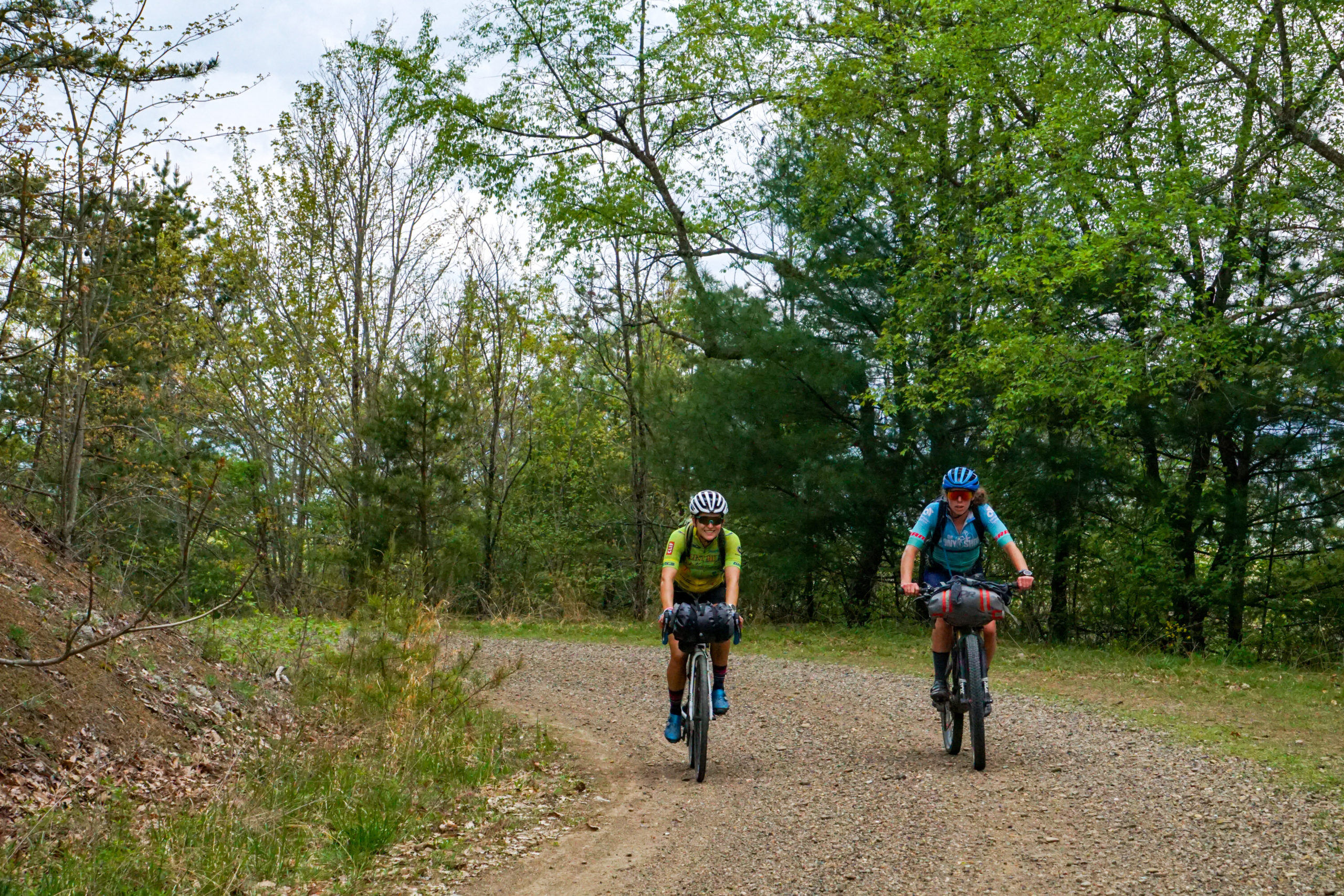

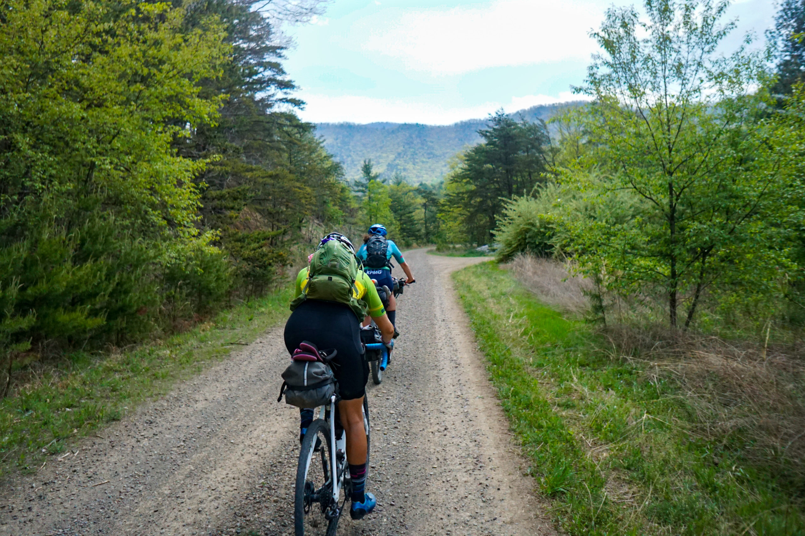
Though, I am sure if you asked Spencer he would tell you different. We got a big down hill and at the bottom we took a break for lunch. The calm before the storm.
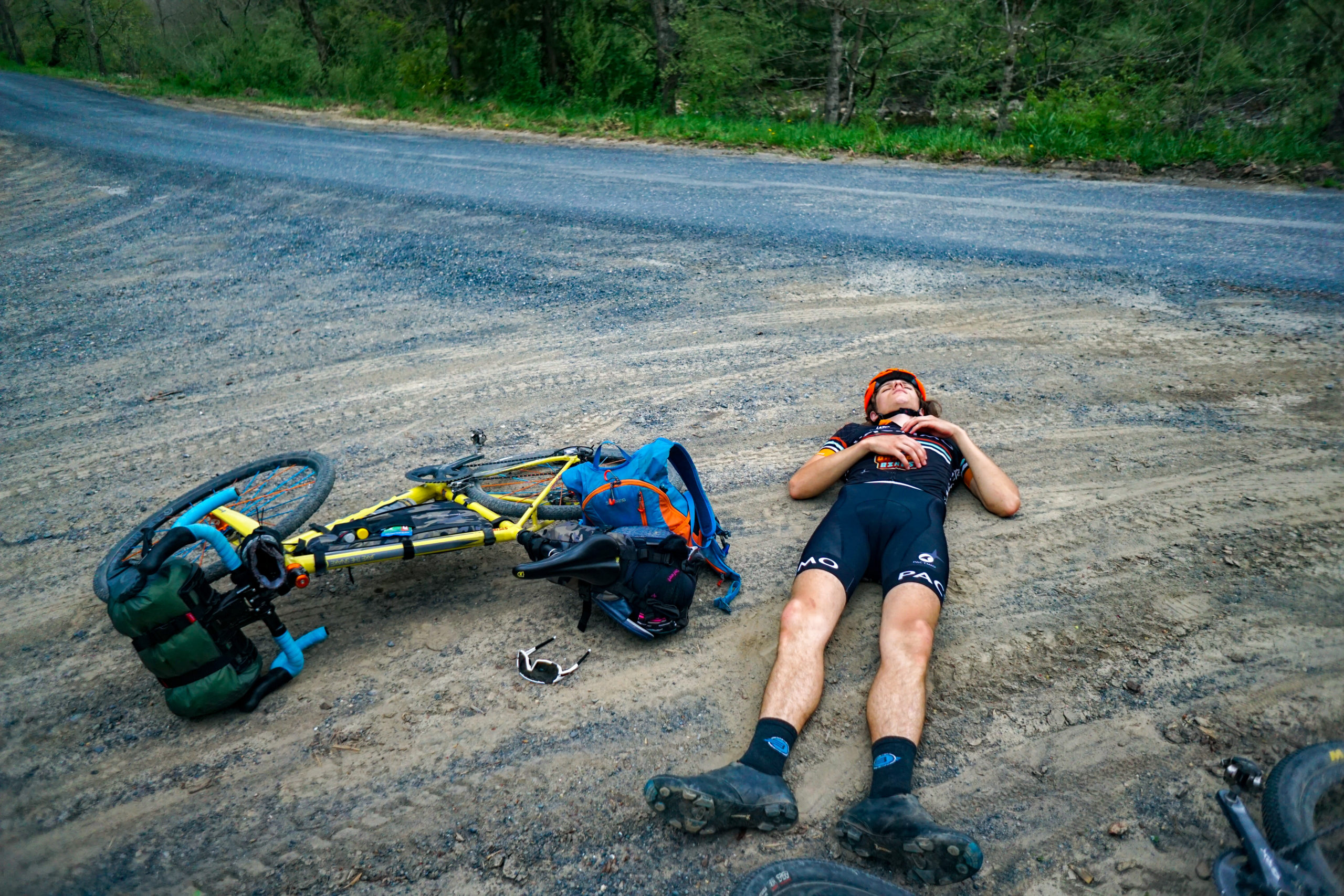
From here it was up hill 9 miles. We started on flat, mint gravel, farm roads before passing a chicken farm and heading straight up an old forest service road. Everything was going swell until we hit a curious intersection. I deduced that we actually had to get on single track and this sent the groups anxiety through the roof. I should add we were about 5hrs in at this point…
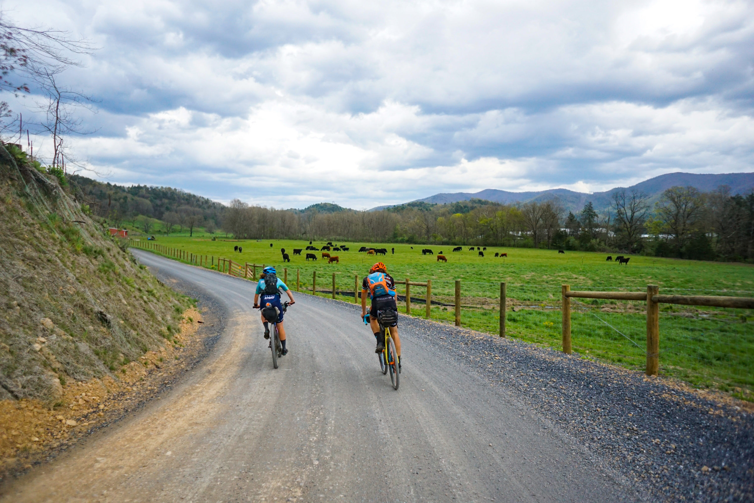
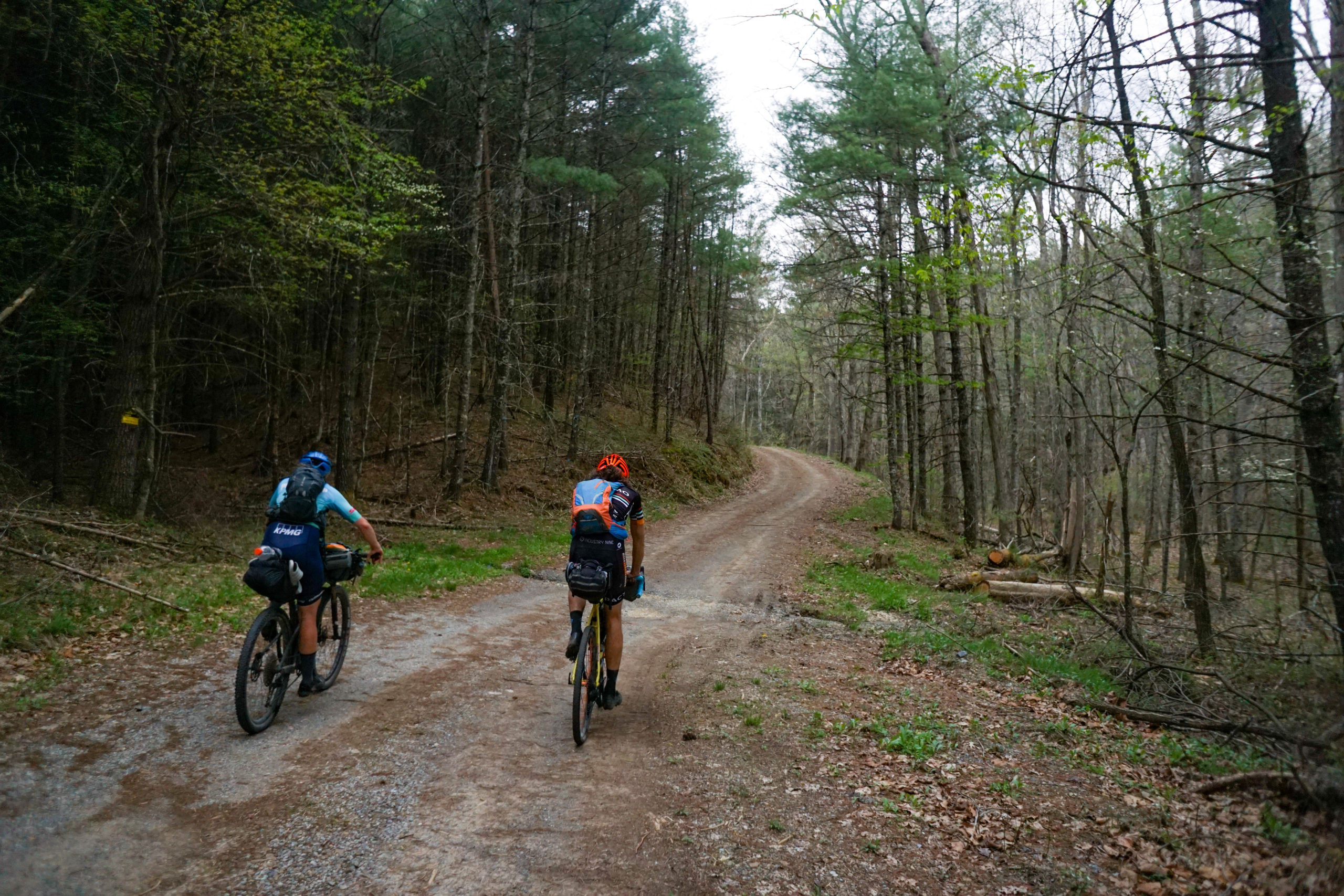
I forgot that on the map we had a small single track section to connect us over to the Shenandoah Mtn rd. No one trusted me much and as the evening grew darker and gray clouds rolled in everyone’s skepticism grew.
We started hiking, following the yellow blaze and before long we were on gravel. Surprisingly, Emily was the most cracked and was at first quiet until her thirst got the better of her and she demanded we stop, up on a ridge, for water filtration… There was no water.
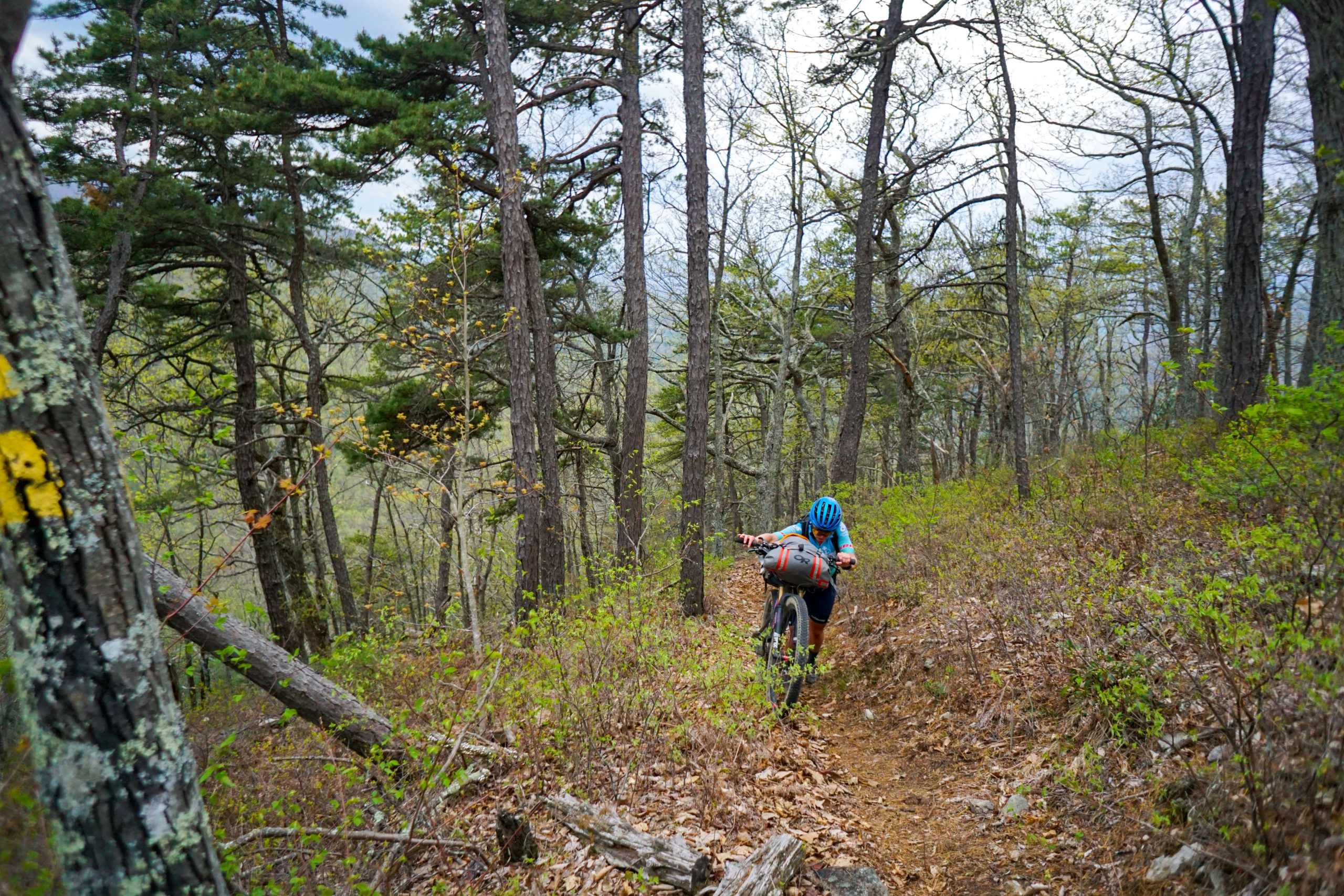
Soon after we encountered pavement and you could almost hear everyone sigh in relief. We jumped on hwy 250 and passed a “Down hill trucks use caution” sign. Erica and Spencer almost jumped for joy as they trusted that sign more than my interpretation of the elevation profile.
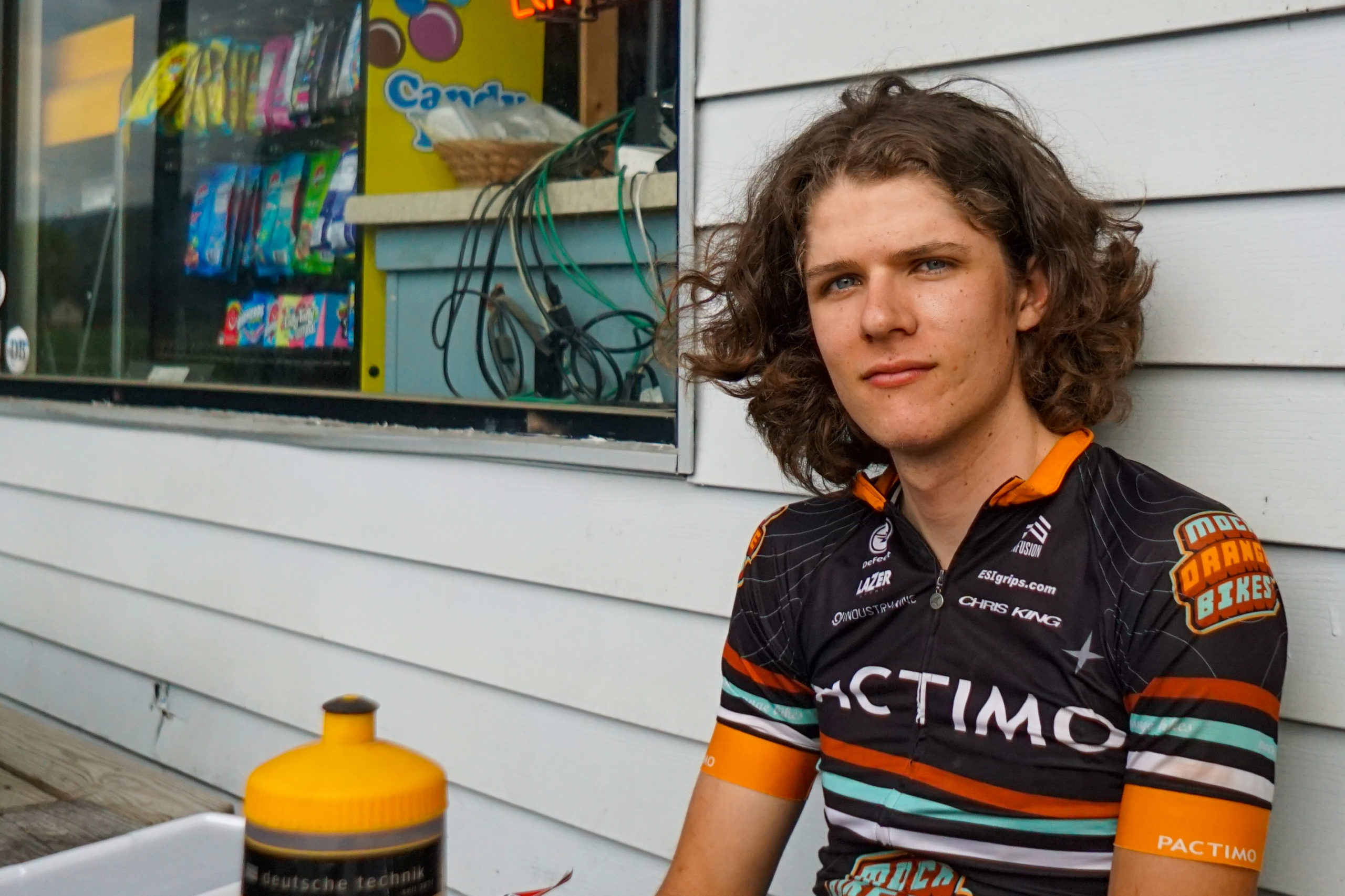
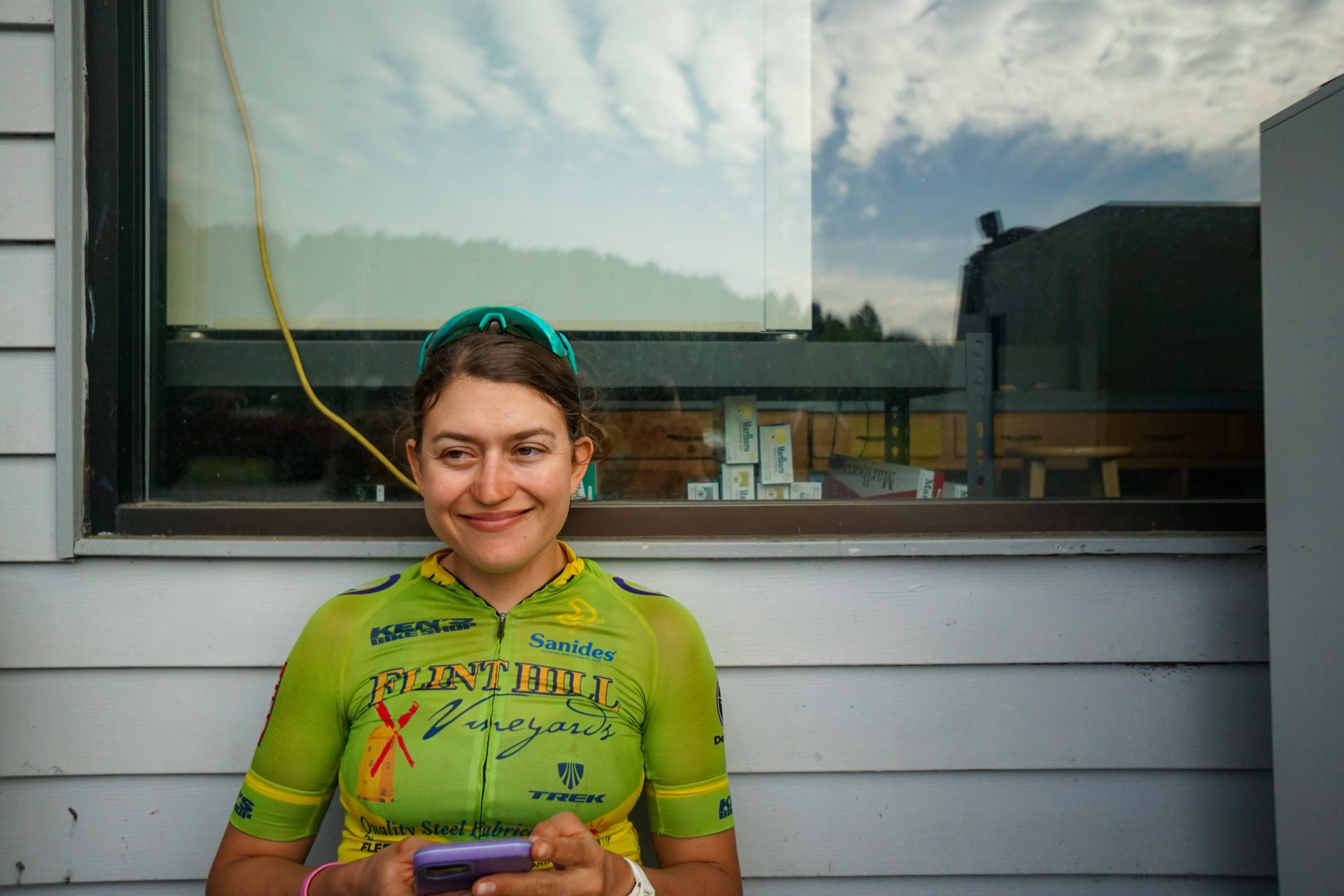
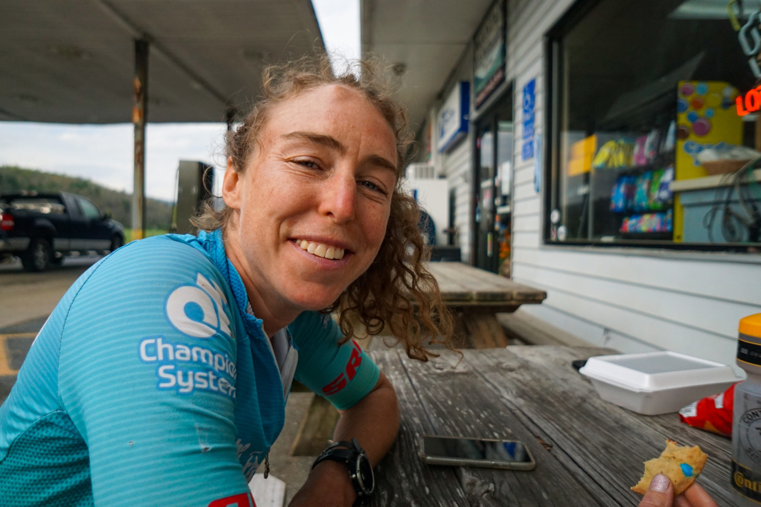
We coasted into West Agusta and stuffed our gullets at the general store. We got some home cooked food, topped up on snacks, and sat at a picnic table to eat rather than on the ground or a log. It’s the little things in life these trips help you to appreciate.
We had < 1 mile commute from the general store to the camp site and we all resolved to come back first thing in the am for more home cooked food, not instant oats, and freshly brewed coffee.
The final day couldn’t have started better. Sure we were woken the night before at 11pm by a state trooper looking for rambunctious teenagers causing a ruckus, but the hot breakfast at the general store remedied all that and had us eager to knock out this first 25 mile, gradual, climb up to Reddish Knob.

We cruised up to Reddish Knob pretty quickly and were surprised to conquer the high point so early in the day.

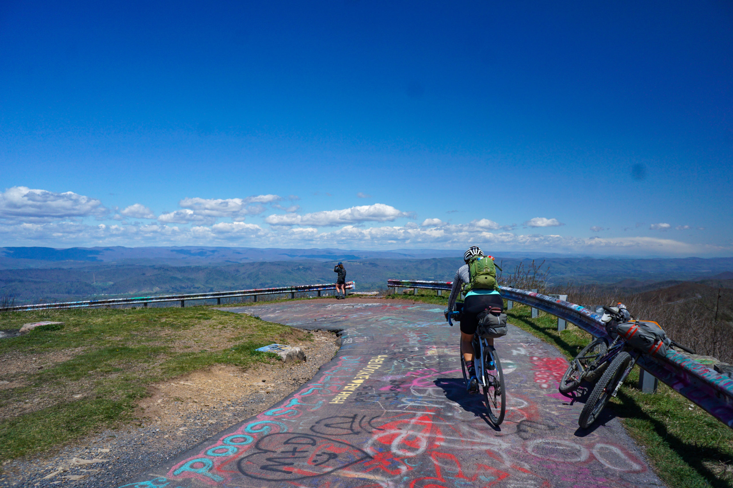
From there it was all ridge line. 10 miles of 4×4 big, gnarly, rocky ridge line. Again, the elevation profile showed a gradual decrease throughout the ridge but every uphill rise was my fault, as if I willed them into existence. Emily, after crashing earlier from a huge ridge line cross wind and a recent flat tire, was the most cracked. She sarcastically remarked that “She must not know the definition of “down hill” because that was not down hill!”.
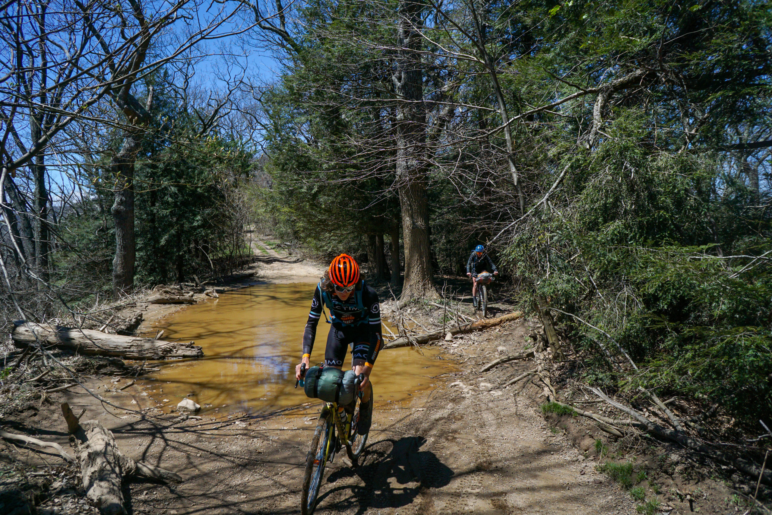
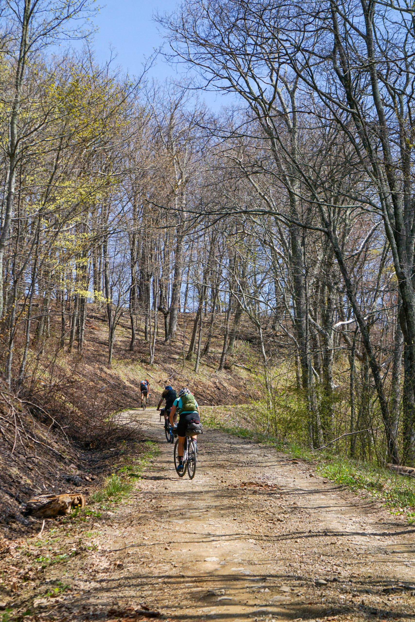
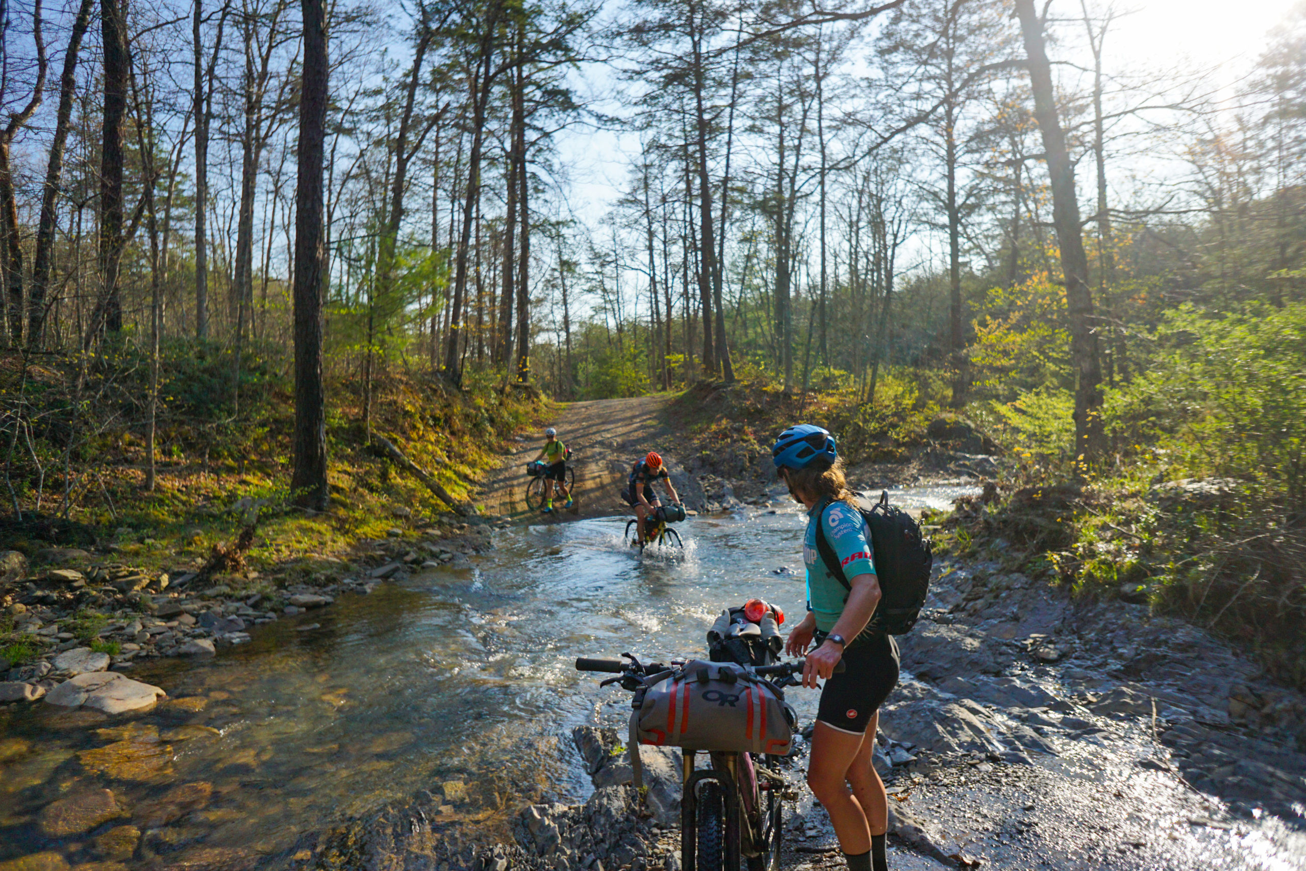
We dropped off the ridge, and had lunch by a nice creek. The wind was absolutely whipping and bending big trees over so we hastily inhaled our food and kept pushing on.
Not long later we crossed the threshold from gravel to pavement and were granted the greatest gift of all, a tail wind. Karmic repudiation for Emily’s crash? Sure, I’ll take it. If so, thanks Em! We weren’t asking questions we just milked it for all it was worth.
We covered that last 20 miles in just over and hour and rolled into downtown Harrisonburg feeling like warriors!

We had a 2 mile commute from the end of the actual route to the truck and the whining picked back up. At this point I didn’t know how there wasn’t a mutiny, I guess it was a blessing after all that I was the only one with the gps route!
We rolled up to the truck and the bikes hit the ground. Everyone was so pumped not to have to ride anymore. We wasted no time in stripping frames and putting, somewhat, clean clothes on. We had one thing on our minds. Burgers. So we b-lined it to the closest burger joint and ordered margaritas immediately.
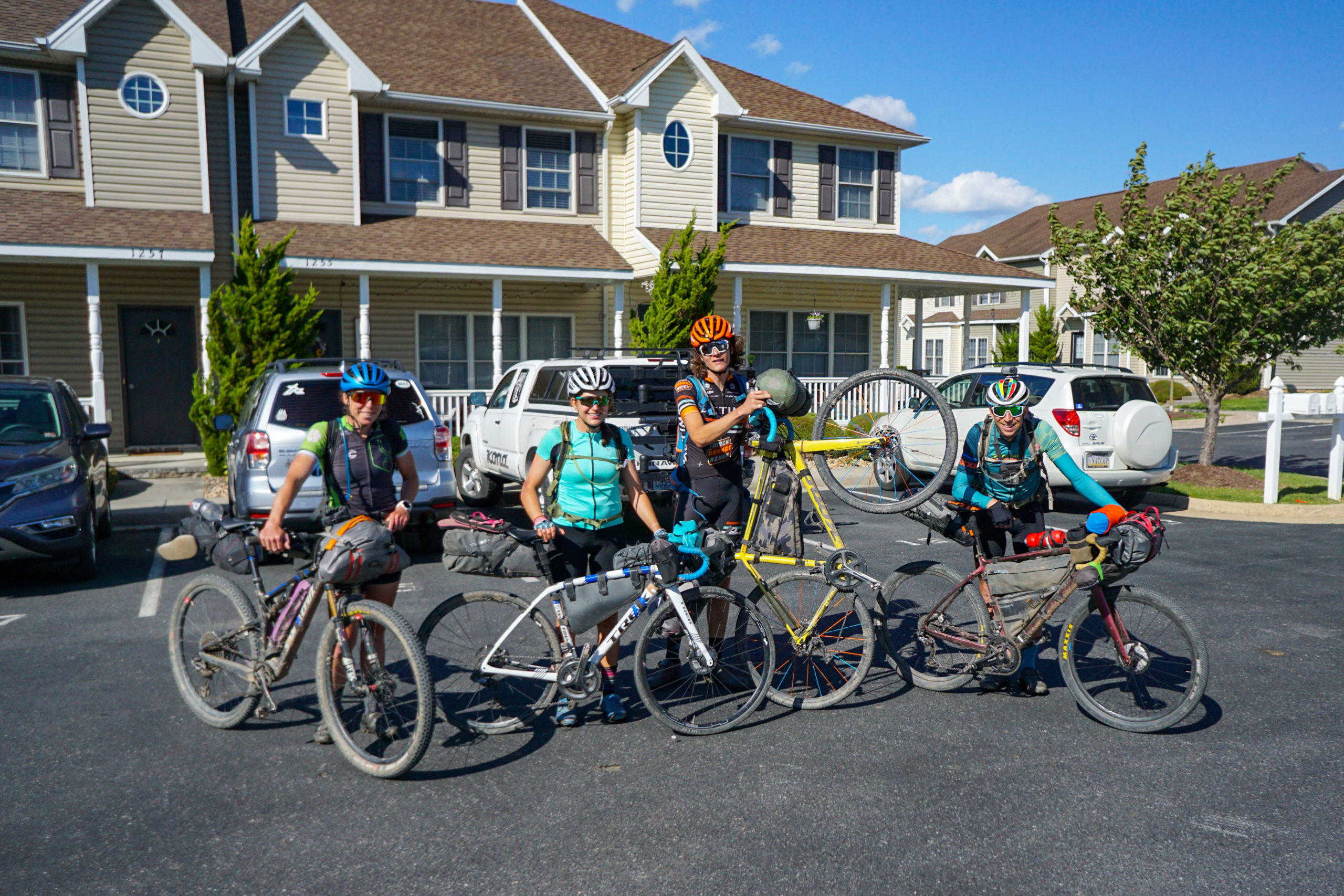
The 2hr drive home was time for reflection. We chatted about the absurdities, the funny stuff, and the early doubts. We laughed and talked about how “we should have done this, if we would have known that”. I asked Erica and Spencer if they would be keen to do another, I got nothing but crickets. I am sure they will come around. They just need to let the wounds heal first.

