The Rockstar Trail is a MTB bikepack route that links up some of the best trail between Harrisonburg, Va and Roanoke, Va, a 110 mile drive on I-81 but a 270 mile bike route with 34k of vert, and more single track than you can swing a bat at!
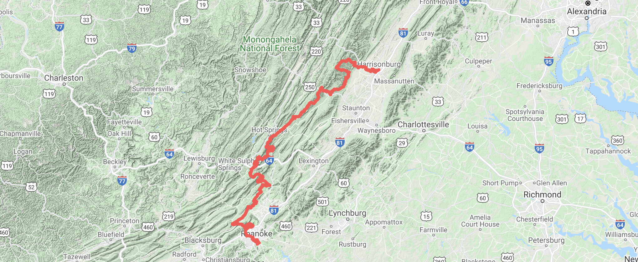
In my typical fashion I devised a plan to make this route extra spicy by setting some logistics in place that would line up the Gravel Route (reversed) less than a week after completing the Trail Route, and invite some friends along for the journey. More on that in a bit.
All you need to know for me to start this story is, I gave myself 4 days to complete the Trail route. There wasn’t a ton of racing on the calendar and the Rockstar routes had been gaining popularity in our local cycling community. Lots of people had recently done the gravel route and I’d been hearing about the trail route since early in 2020. With a prominent bike route, there is even a race and FKT time sheet, I set out on some dates, made a plan, and got stoked!
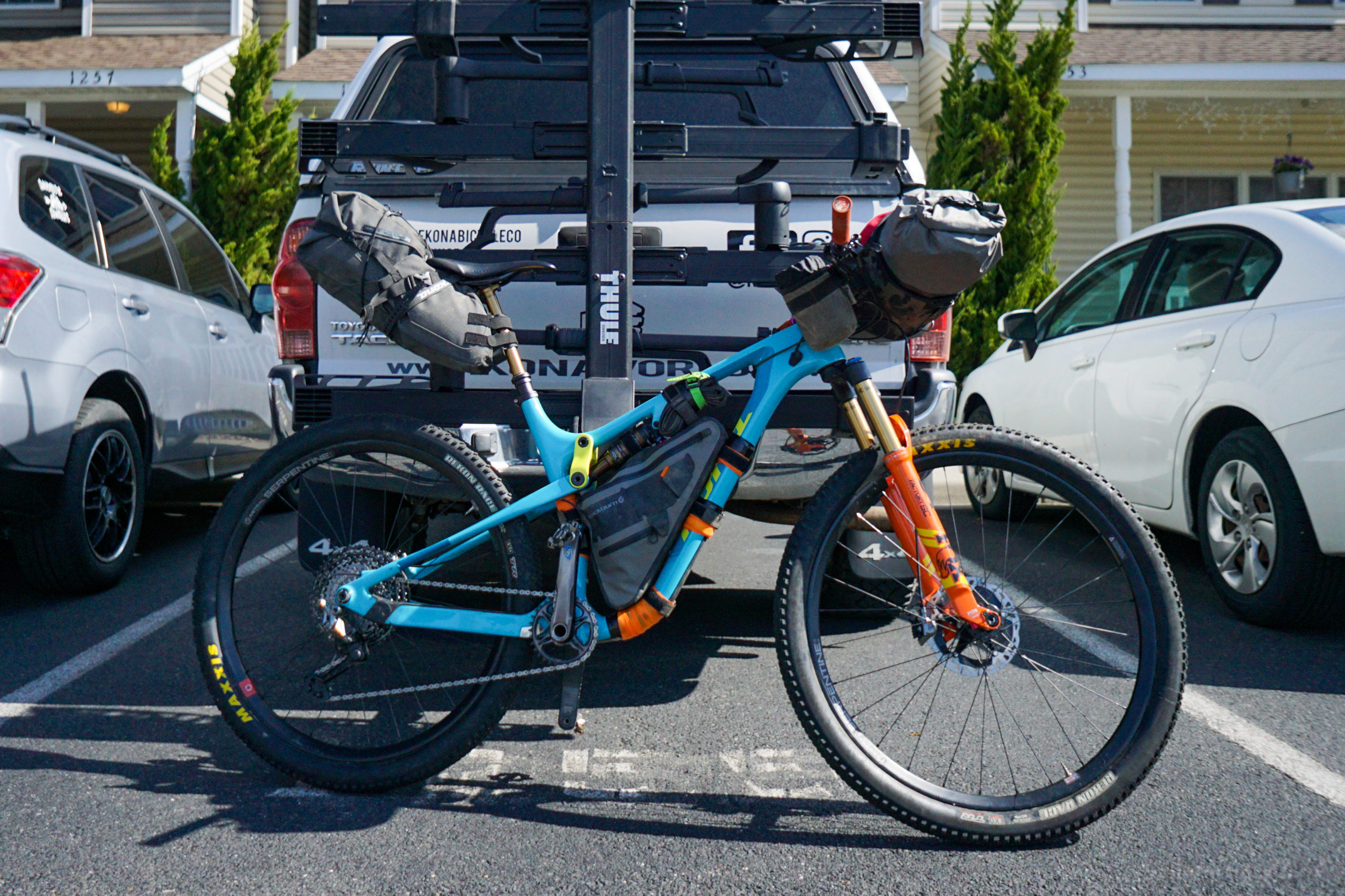
Sunday I made the drive from Roanoke to Harrisonburg, with loaded rig, parked the truck at a friends house and starting ticking off miles. The setup I was using was basically the same as the Colorado Trail setup I used in Sept. of 2020. My trusty Hei Hei CR with a bar bag, frame bag, seat bag, and hydration pack on my back. With that said I was feeling confident in my ability after completing that gruling 8 day trip. So in my head this 4 day outing, though it was my first solo outing, seemed like it would be breezy. Reality would soon check in with me, approximately about 30 miles into day 1.
With day 1 putting things into perspective for me I was looking forward to getting into day 2. About 15 miles in I hit familiar territory, the Shanendoah Mountain Trail. Emily and I had done the southern portion of this trail in Dec. of 2020. It felt good and relaxing to be ripping familiar single track. At least I had a bench mark for how long it would take.

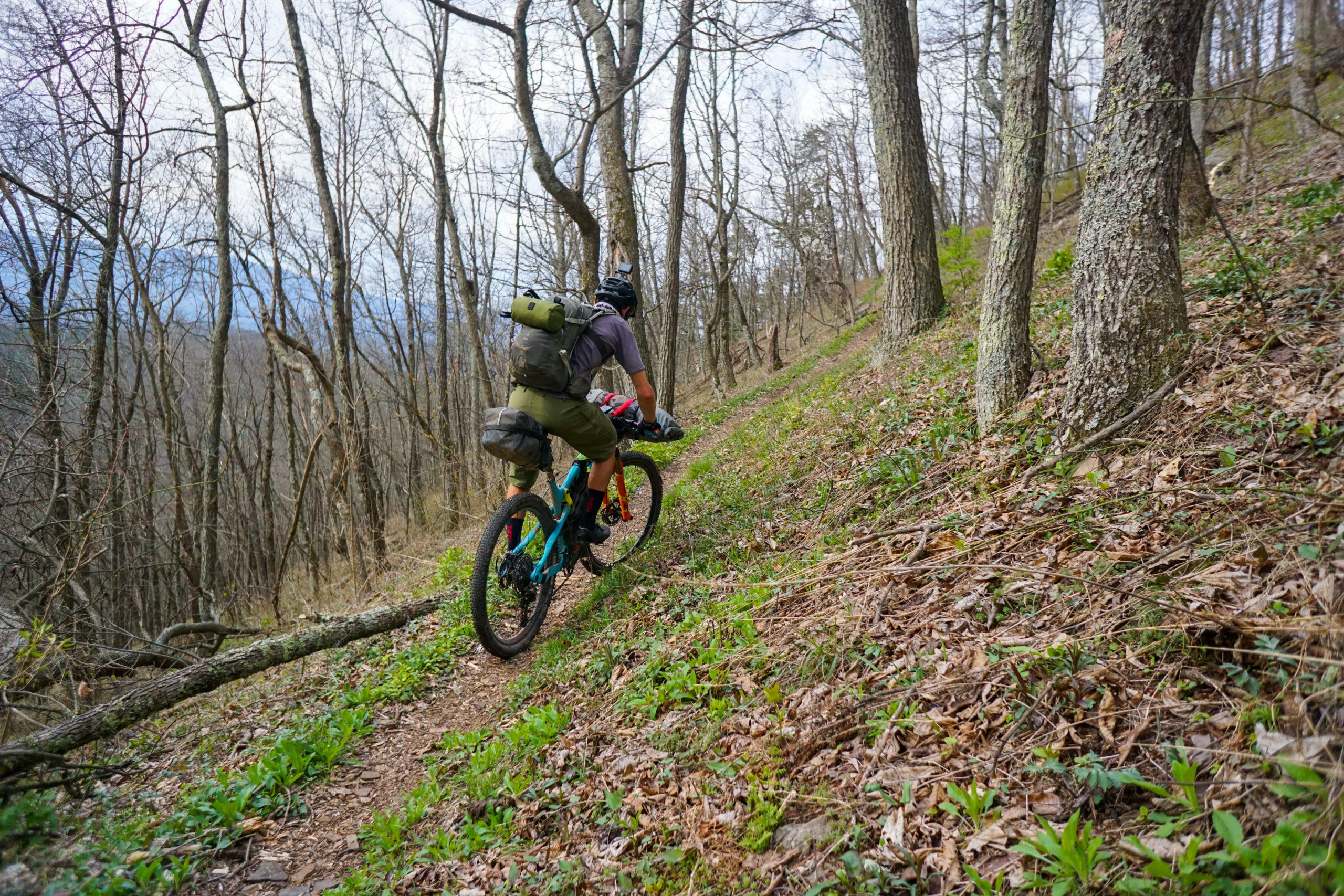
I jumped on pavement after the Southern Traverse and covered some easy ground. In hindsight this was the calm before the storm. After this pavement section I got my ass handed to me by a 15 mile climb called Little Mtn Mare. Loamy, rocky, and flowy, I was really wishing the route went the other way! I made a mental note to come back and ride it down hill wtihout a loaded rig.
Once at the top I was greeting by a forest crew doing a controlled burn, which was cool to see, not so cool to breathe in. For all that effort I put out on Little Mtn Mare I was rewarded with a sick rip of a descent down Sandy Gap. With one more push up to the Middle Mountain ridge just north of Douthat State Park I had day two done and so was I. 8.5 hrs of moving time, 66 miles, and 11k of vert.
I was looking forward to day three for one reason alone. I was going to roll through Covington, Va, which meant I could buy real food instead of just gas station snacks. The caveat was that it wouldn’t be until I completed 35 miles of remote backcountry single track.
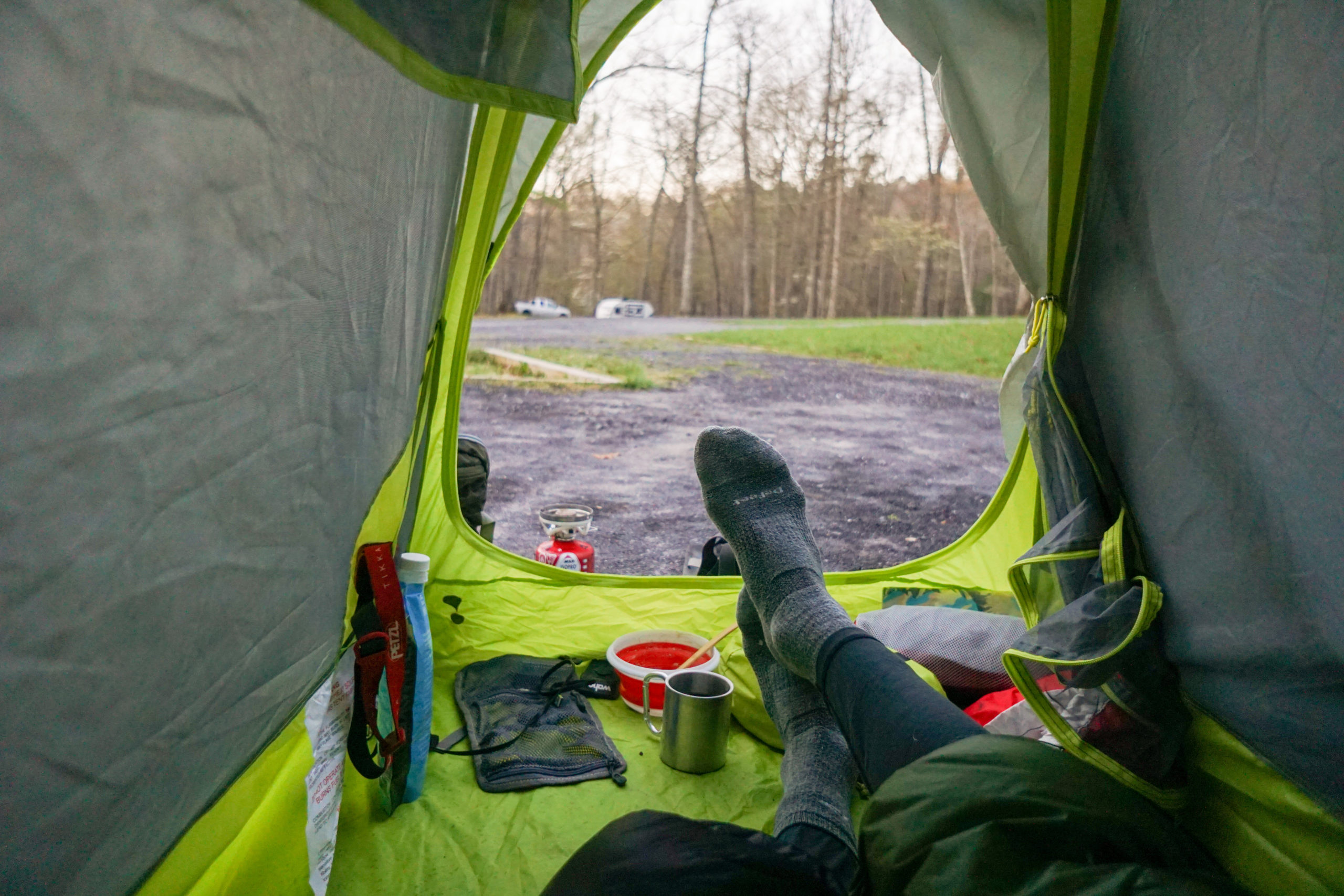
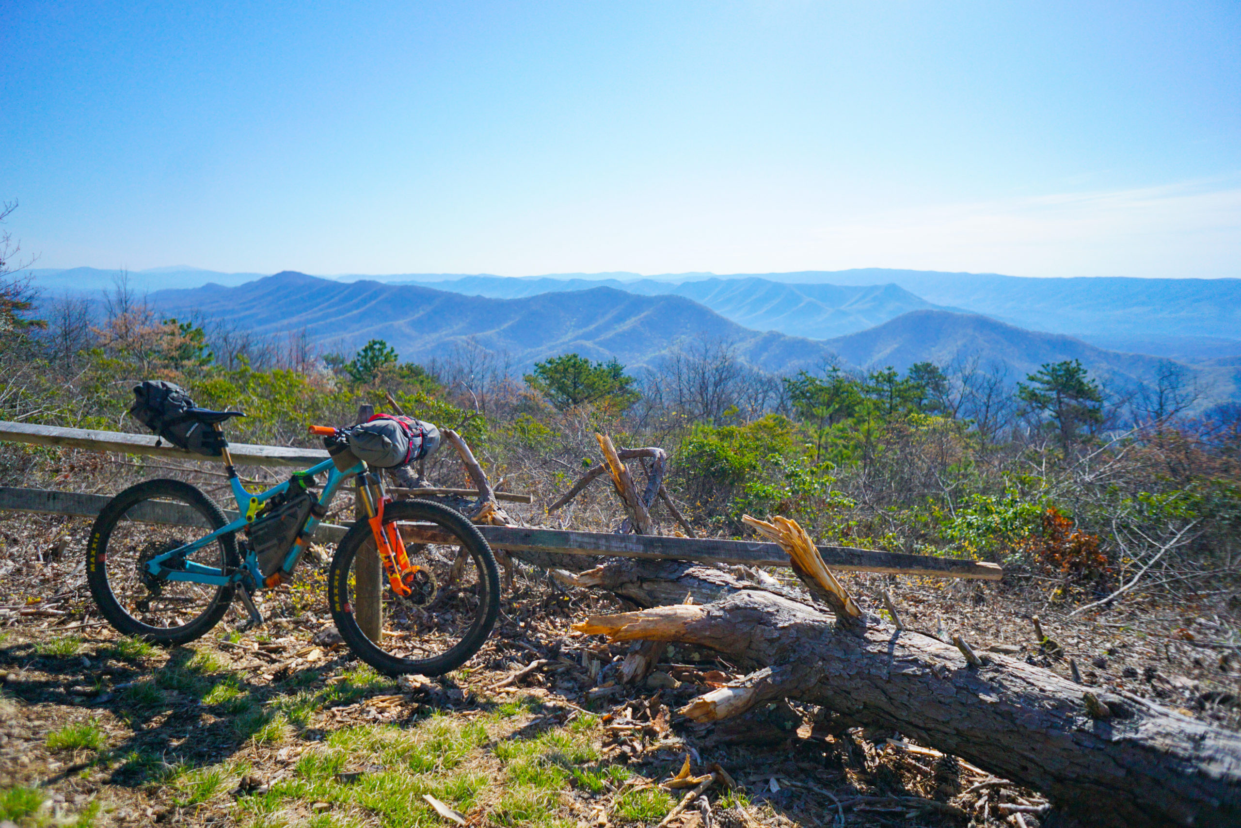
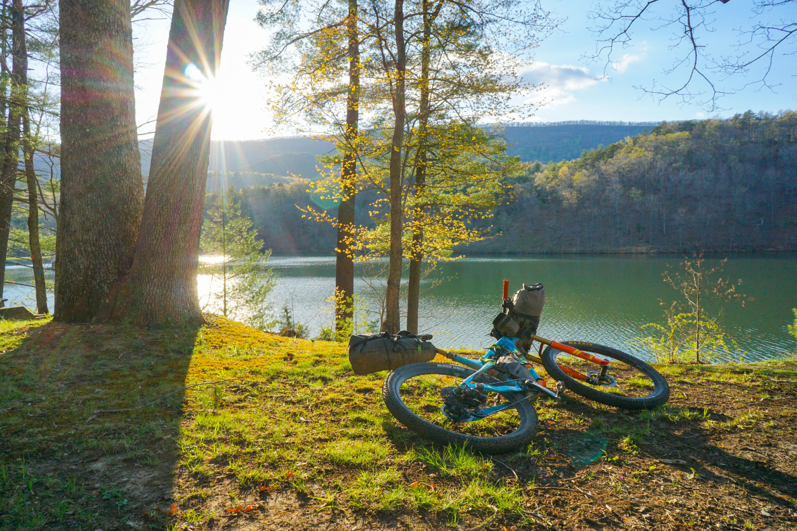
So I packed as much as I could at the Douthat State Park Camp store and started my day. First up was a nice climb up to the Tuscarora Overlook, which provided a beautiful view of Douthat Lake and the surrounding ridges.
After exiting Douthat I ripped through FS road and National Wild Turkey Preserve land until I reached the final descent. I ripped down Fore Mtn into Covington and b-lined it straight for a Big Mac, vanilla milk shake, and fries!

After some food and a final gas station stock up I went back on route, pounding 15 miles of pavement to Roaring Run Day Use Area, which was my camp spot for day 3. When I arrived I wasn’t done though. I still had a 10 mile horseshoe loop to roll. Since the other side of the horseshoe was just a mile from the camp spot my plan was to drop my bags and roll that 10 miles a bit less loaded.
It was awesome. The climb was effortless with 30lbs less on my bike, though, the descent felt terrible because my suspension was set up for a 210lb person and now I was only 180. Regardless, I ripped through the Hoop Hole National Recreation Trail and pedaled 1 mile back to Roaring Run, eager to get to sleep and kick off the last day.
I spent a restless night wondering how I had goofed up the numbers so bad. You see I had been covering about 65 miles in 7-8.5hrs over the last 3 days. For some reason I figured leaving 90 miles for the last day was a good idea (sarcasm). With that said I woke up early and had wheels rolling at 7:30 am. I covered those first 14 miles of false flat pavement and gravel in 1 hr and was stoked for the fast start.
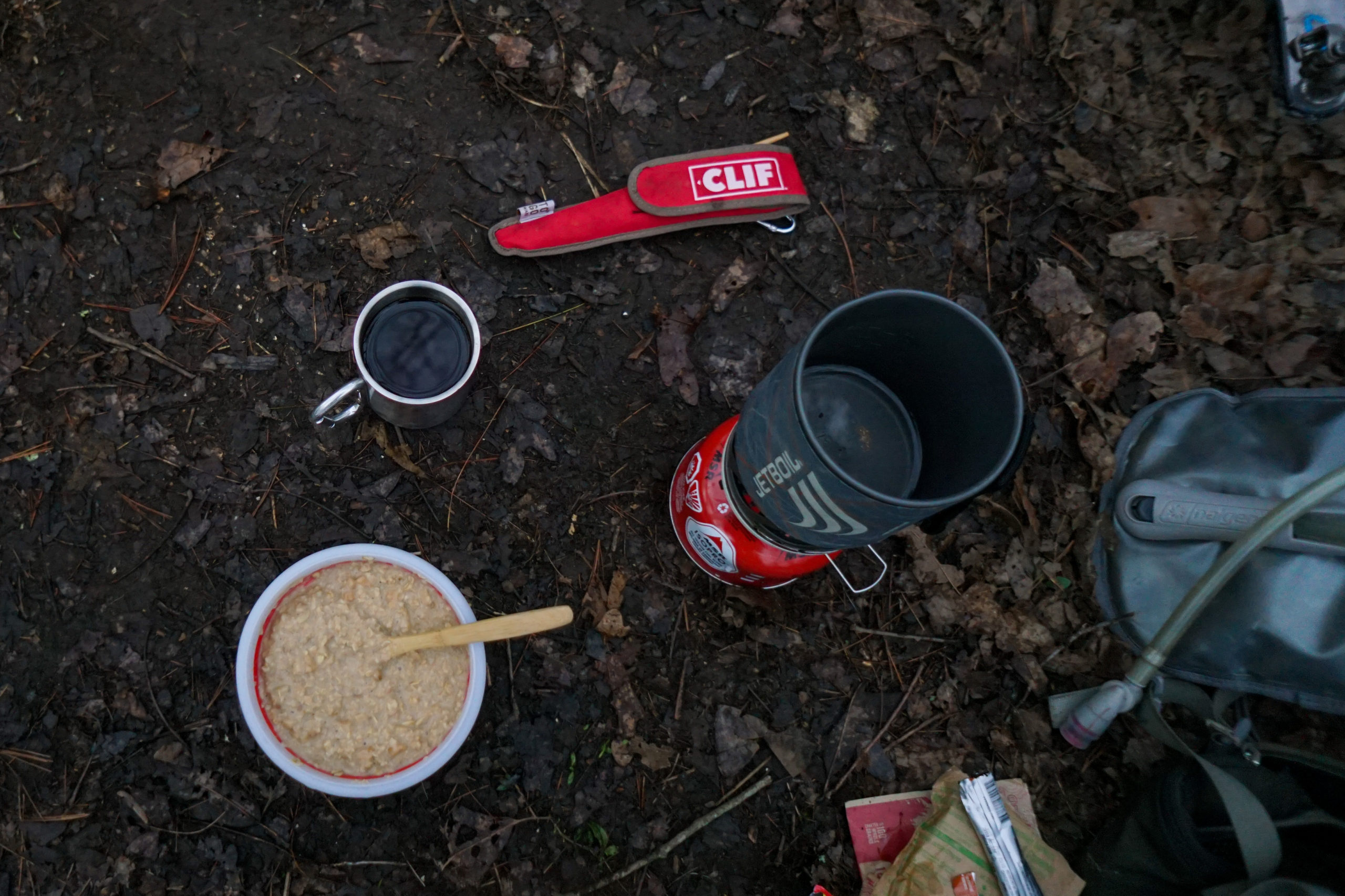
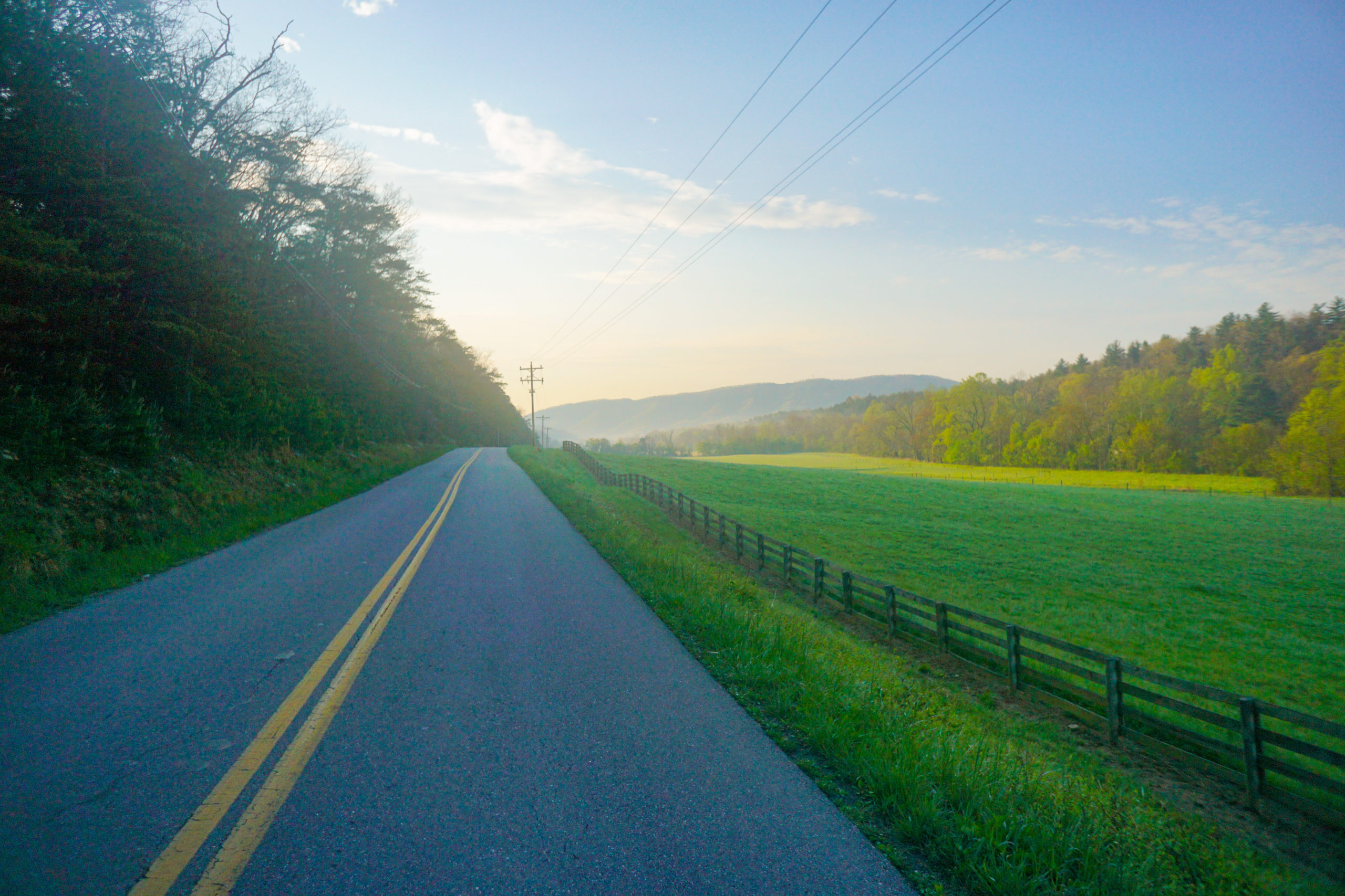
This quickly faded as I waded my way through derailleur deep leaf piles ascending Price Mtn. The trek was slow going, the single track turned to 1/4 track and I ended up pushing more than I’d like to admit but I made it through in relatively good time and continued on to the crux move of the day, the Dragon’s Back.
The Dragon’s Back is an iconic ridge line trail that stretches 13 miles. It’s very thin on top and provides the user wtih 360º views of the Catawba Valley but there is a price to pay. First, you have to get up to the ridge, which is a slog in its own right. Then once up there the going isn’t easy. Lot’s of steep punchy climbs strain your legs, and in my case, my final caches of ride food.
You see I had to make it from Covington, 25 miles from the finish of day 3 to 35 miles into day 4 (the other side of the Dragon’s Back) for a food resupply. I was working on my last pop tart and a little anxious about how long the ridge traverse would take and whether or not I would have enough calories to come down the descent with a sane mind.

Luckily, the ridge was smooth going. Once I dropped onto hwy 311 and stocked up at the Catawba General Store I felt a huge weight lift off my shoulders. Even though I saved the biggest day for the end I knew I would finish before dark!
From here it was into Carvin’s Cove, a popular trail system just north of town. I’d ridden all the trails on route, which added to my perceived level of comfort.
I popped into a gas station after Carvin’s for one last fuel up. I resolved to not stop again until I was in my back yard!
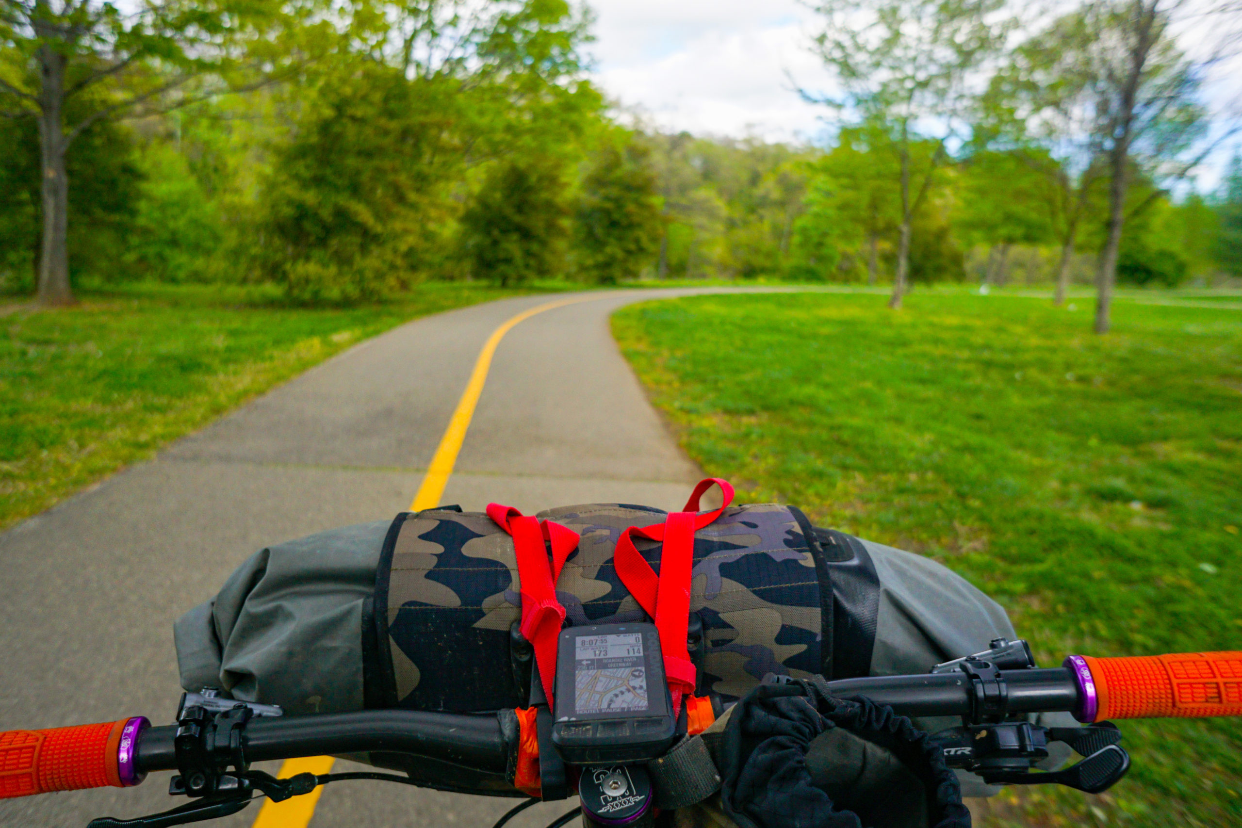

It felt so silly having to deviate from my commute home to hit trails that lacked the arduousness of the Dragon’s back but I was determined to follow the route to a T and knock it out proper.
Once up on top of Mill Mountain with one more trail to descend to the bike path that would inevitably take me home I had an overwhelming sense of accomplishment. I took in the view north overlooking the Roanoke Valley, I had the whole Mill Mountain Star Vista to myself, and smirked at the ridges I had just conqured. They tested me and pushed me but I pushed back and now I was on the other side of the route with just a short pedal home. This one felt good.
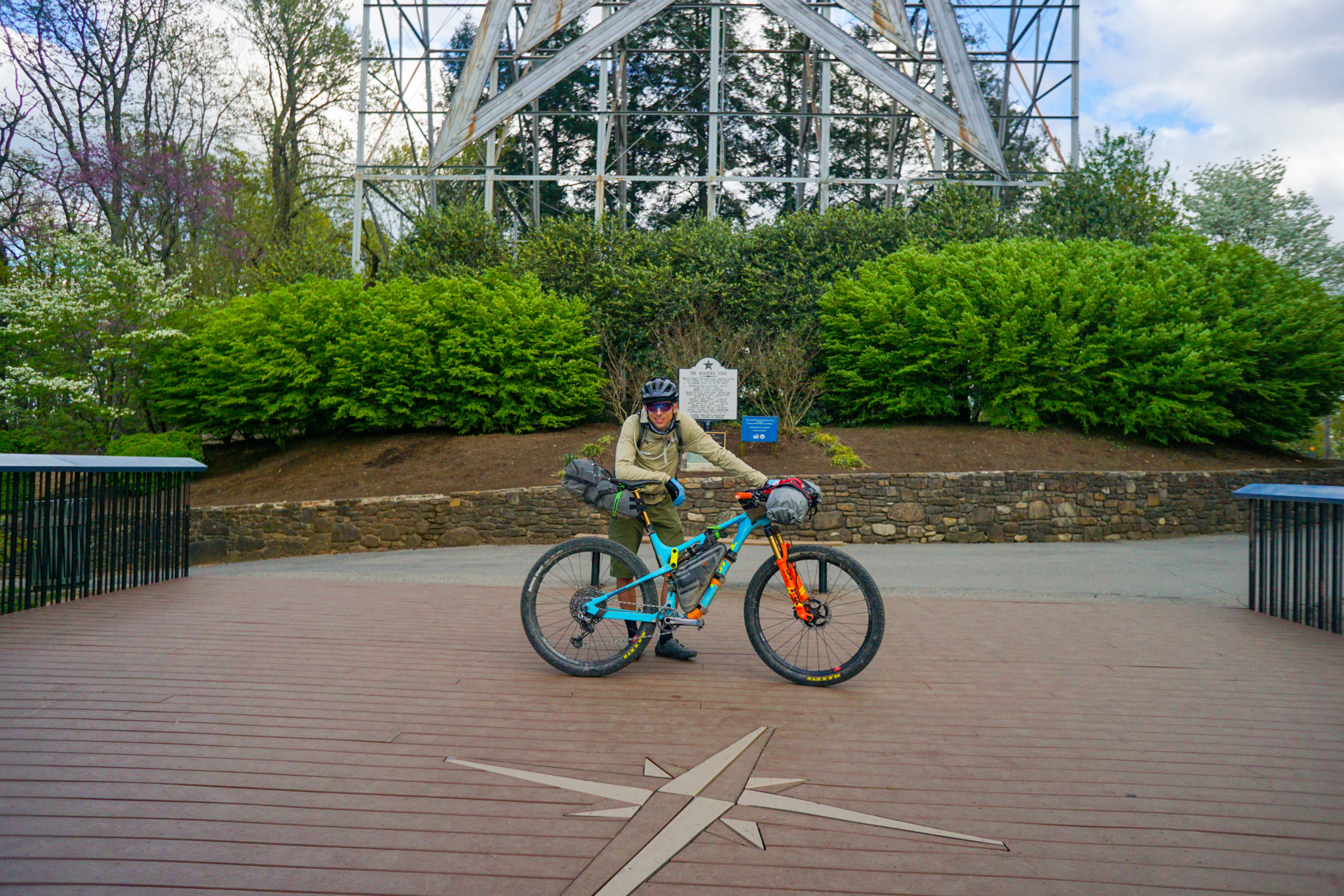
While the sense of accomplishment was overwhelming there was something else nagging at the back of my mind. In less than a week I’d have to swap bike from My Hei Hei to Libre and do it all again. I mean, I had to get my truck somehow and I’d be damned if I was going to drive another car up to get it. Especially, when there was a Rockstar Gravel route that paralled the Rockstart Trail. Not to mention I had a few eager and niave friends to accompany me on the upcoming adventure!

